Drone Mapping Survey, Ravenstonedale
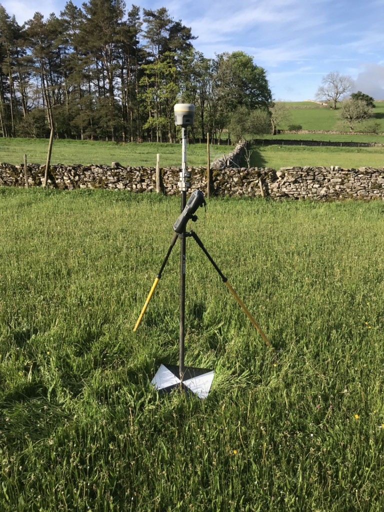
We do now have Topodrone PPK functionality on the DJI Inspire 2, this means we can accurately position each image before processing. We still need some ground control to check this accuracy. This project is for watercourse re-meandering. The drone photography is combined to produce a 3D mesh model from which we can extract standard contour information.