Land Survey in Duddon Valley
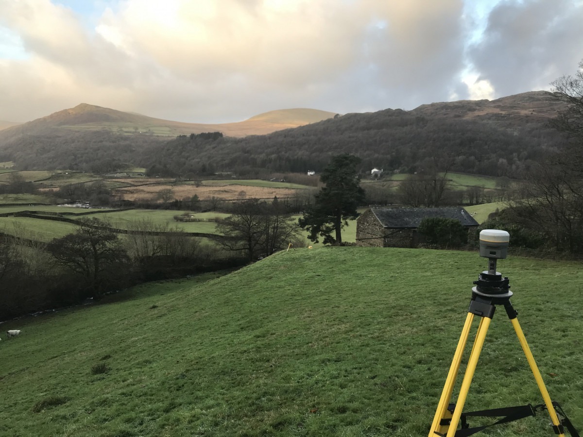
Measuring a control point, Dunnerdale-with-Seathwaite. Land survey required to design a flood drainage scheme around a cottage in the dip. Whitfell and Hesk Fell on the other side of the valley. You could say it’s a day’s hiking rather than work.