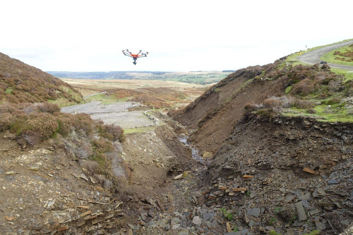
A drone can survey large land mass and industrial site areas in a shorter time frame than on foot. Inaccessible areas such as roofs, rock faces and ravines can be measured in full. Combining images from the ground, building elevations can be captured in superior detail for general and heritage purposes.
A mosaic of overlapping photographs are taken from specific angles to capture the subject. Sophisticated software analyses the images for corresponding geometry to tie images together. With the known characteristics of the camera lens, distance can be calculated. Ground control point targets are distributed in the scene and measured in a coordinate system, to scale and georeference the data.
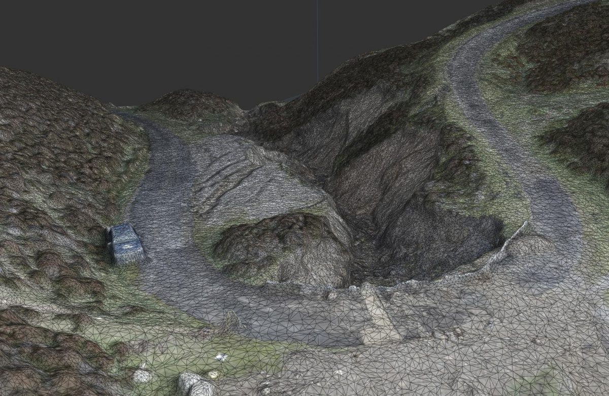
Land project meshes are used for surface, volume and hydrology analysis.
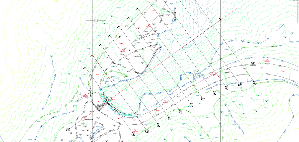
A standard 2D topographical survey drawing with sections was produced for this project.
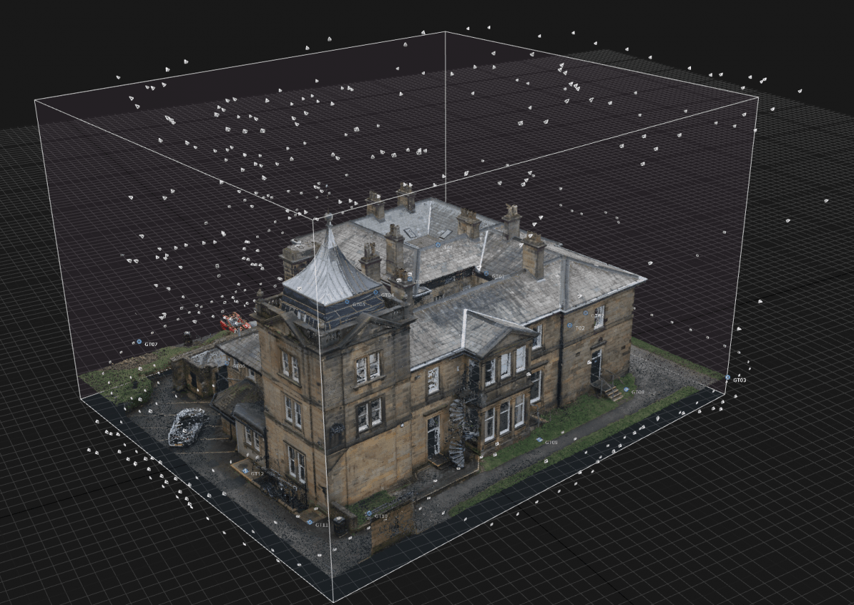
High resolution 3-dimensional textured mesh and point clouds are created. This data can be used as reference to create 3D models in Autodesk Revit and for 2D line work in AutoCAD software.
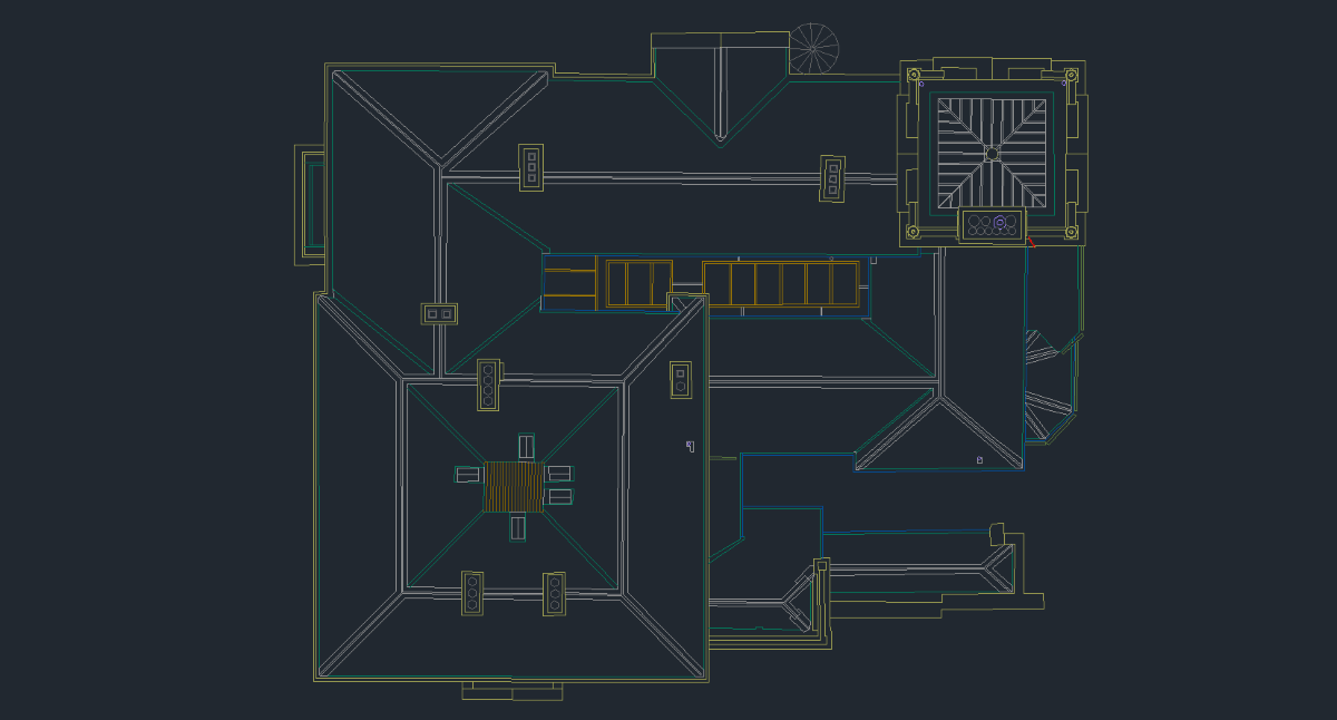
Roof plan created to plan repair work.
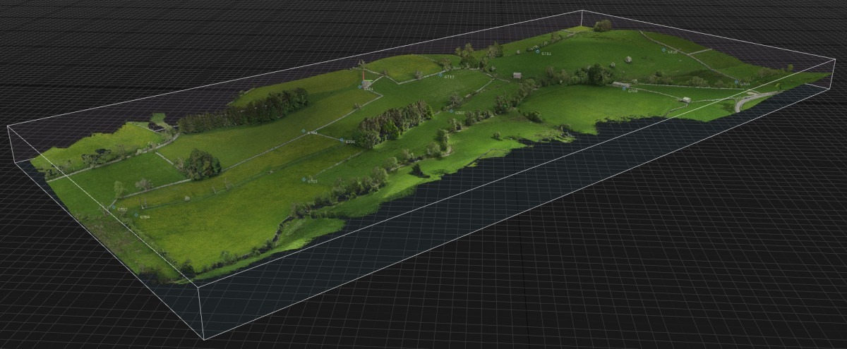
This watercourse re-meandering project scene is brought to the desktop for design visual reference and data extraction.