The precise measurement of land features, artificial and natural, to produce detailed existing site plans including levels. This type of survey is a prerequisite of most development projects, large and small so the proposal can be designed and built within the context of the site.
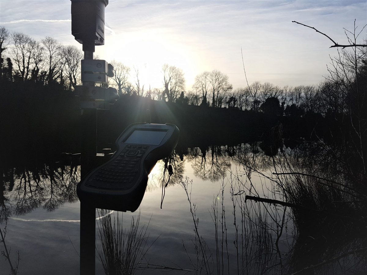
Firstly, survey control points are established in Ordnance Survey National Grid Coordinates with a highly accurate GNSS receiver. Signals in range satellites are triangulated to calculate a position, including the height on the Earth. GPS refers to the network of satellites to which a device can communicate. A GNSS receiver communicates with multiple networks to gain accuracy and reliability.
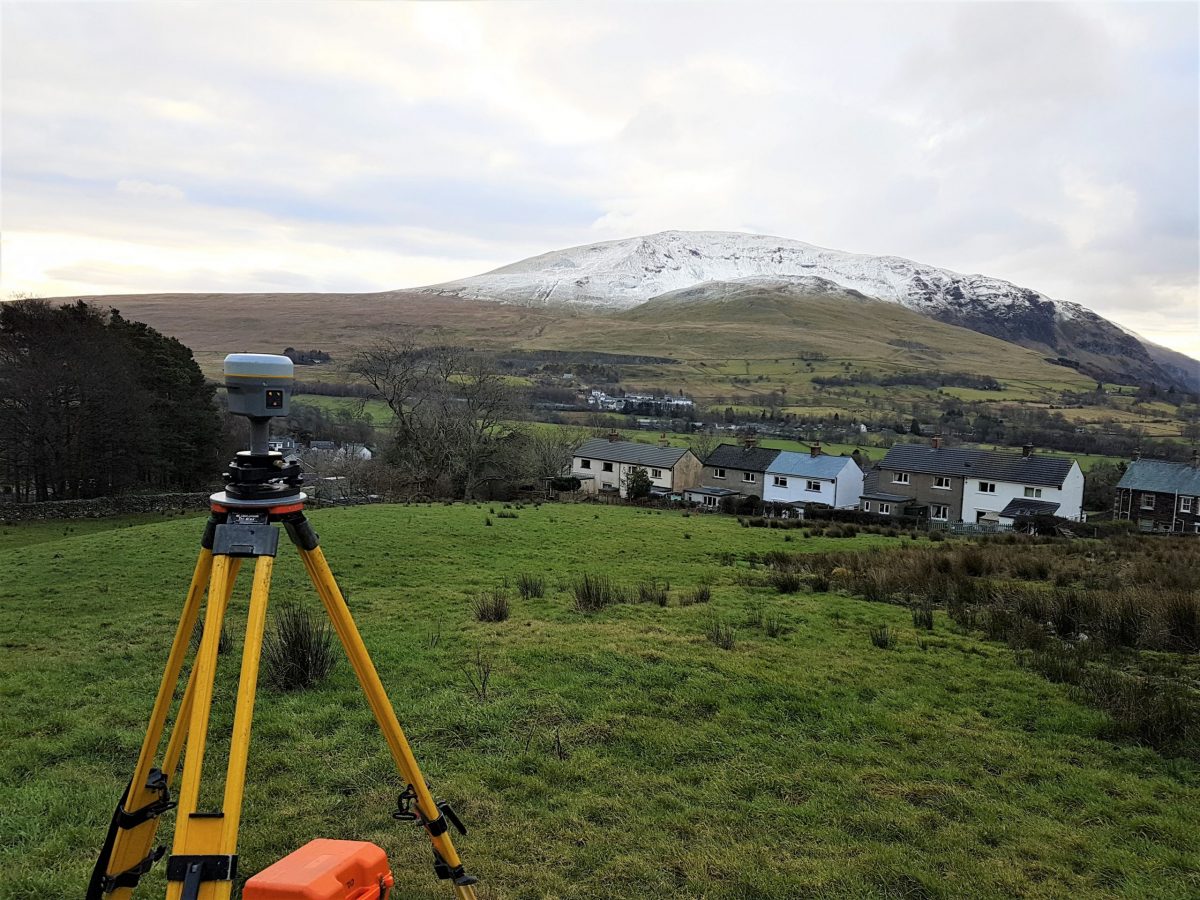
Control Stations are physically installed reference points from which the site is measured. These ensure consistency if the survey is revisited, extended and at the construction setting out stage.
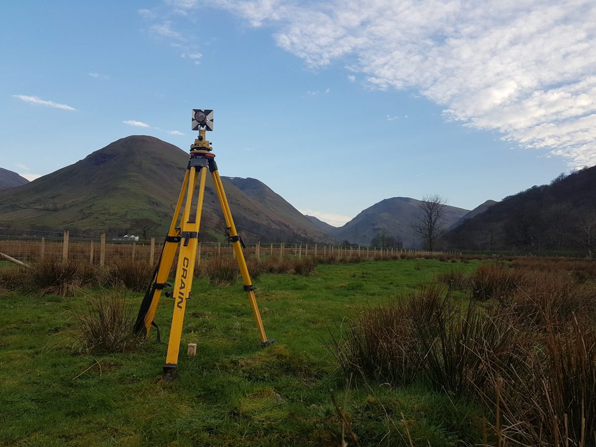
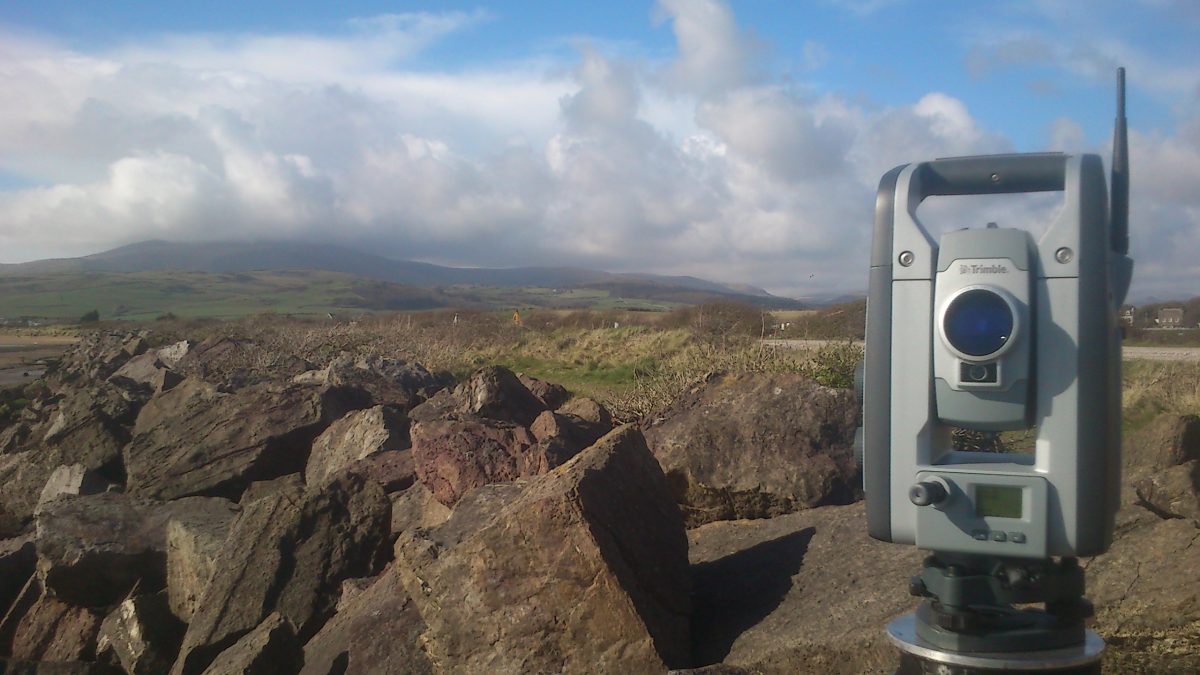
A Robotic Total Station measures the angles and distance from the Control Station to the Survey Point, this bearing and distance is used to calculate the position coordinates. A Total Station is an optical Theodolite with built-in Electronic Distance Measurement which uses infrared reflected signals.
On foot measuring to a mobile reflecting prism or the GNSS receiver the surveyor effectively traces out the site by measuring Survey Points at intervals along ground features and in a grid pattern across land. Each point is coded to identify the feature and surface material. Typically, over 1000 points are recorded in a day and stored on a Survey Controller.
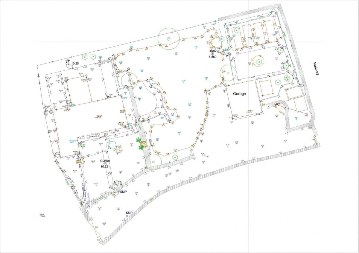
The collected survey data is processed in Trimble Business Centre software and exported for final editing in Autodesk AutoCAD. A professional grade standardised technical drawing coherent to all users is drafted by the surveyor who measured the site.
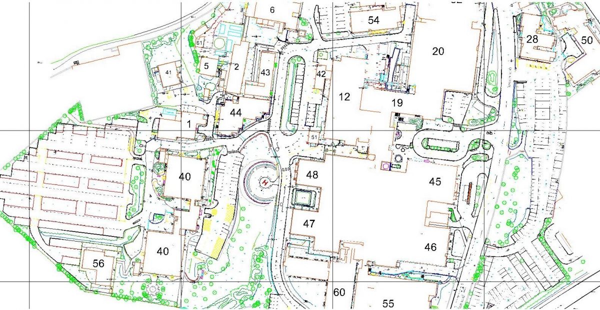
There are various sources of map data available online, but as yet none achieve the detail and accuracy of the surveyor on the ground.