Surveyor Blog
Land Survey in Threlkeld
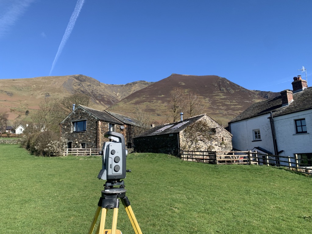
I finished this survey in good time so summited Blencathra for the first time afterward.
Land Survey in Ambleside
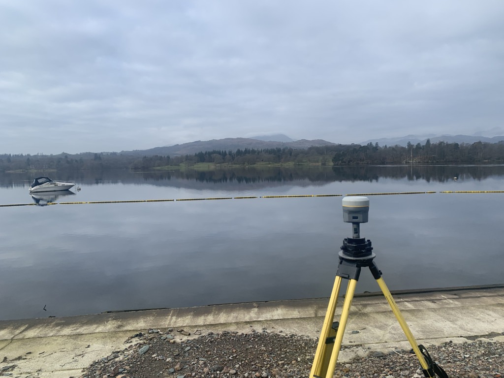
Not a bad work environment for the day.
3D Scanning a Car Part
I was asked so I had a go. Technically it worked, and we reversed engineered a 3D mesh however it wasn’t good enough. It’s the wrong tool for the job.
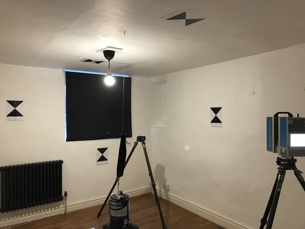
3D Scanning in a Lancaster Basement

A tight squeeze for the scanner, but it delivered precise floor plans that were overlaid to reveal the structural elements.
3D Scanning a Church in Matterdale

3D scanning to produce detailed flor plans elevations and sections for restoration and maintenance.
3D Scanning Podgill Viaduct
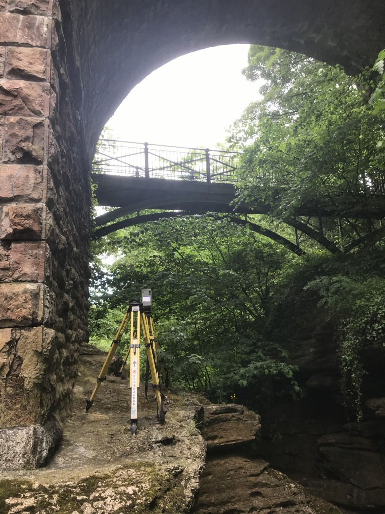
Somewhat precarious accusation of data. The scanner reveals the precise dimensions for instance deck depth for structural calculations. The existing drawings are necessary for inspection and continued maintenance.
3D Scanning on Roa Island
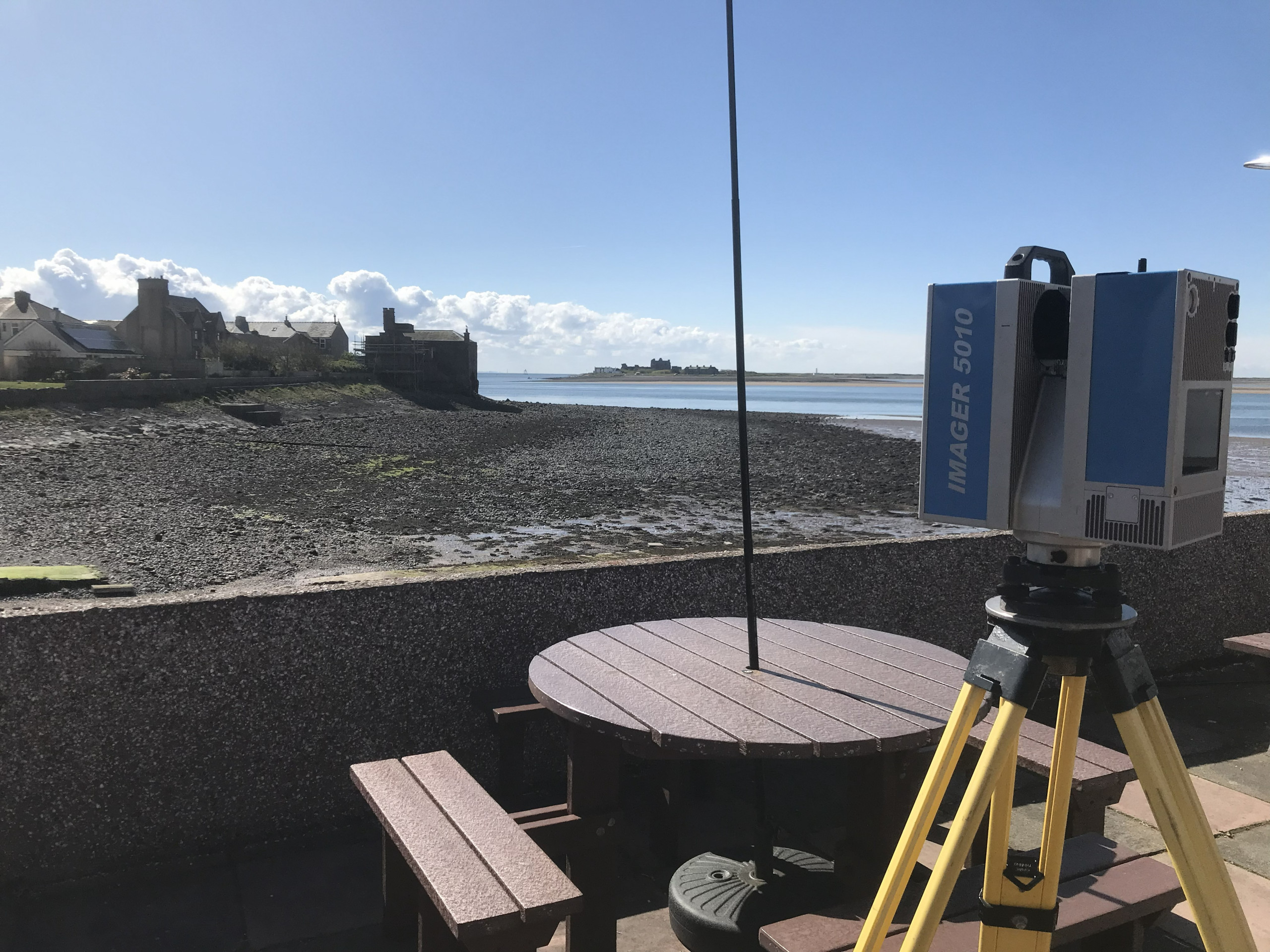
Measured building survey of the café behind us. I will some day take to the time to go to Piel Island
Building Survey, Great Salkeld, near Penrith
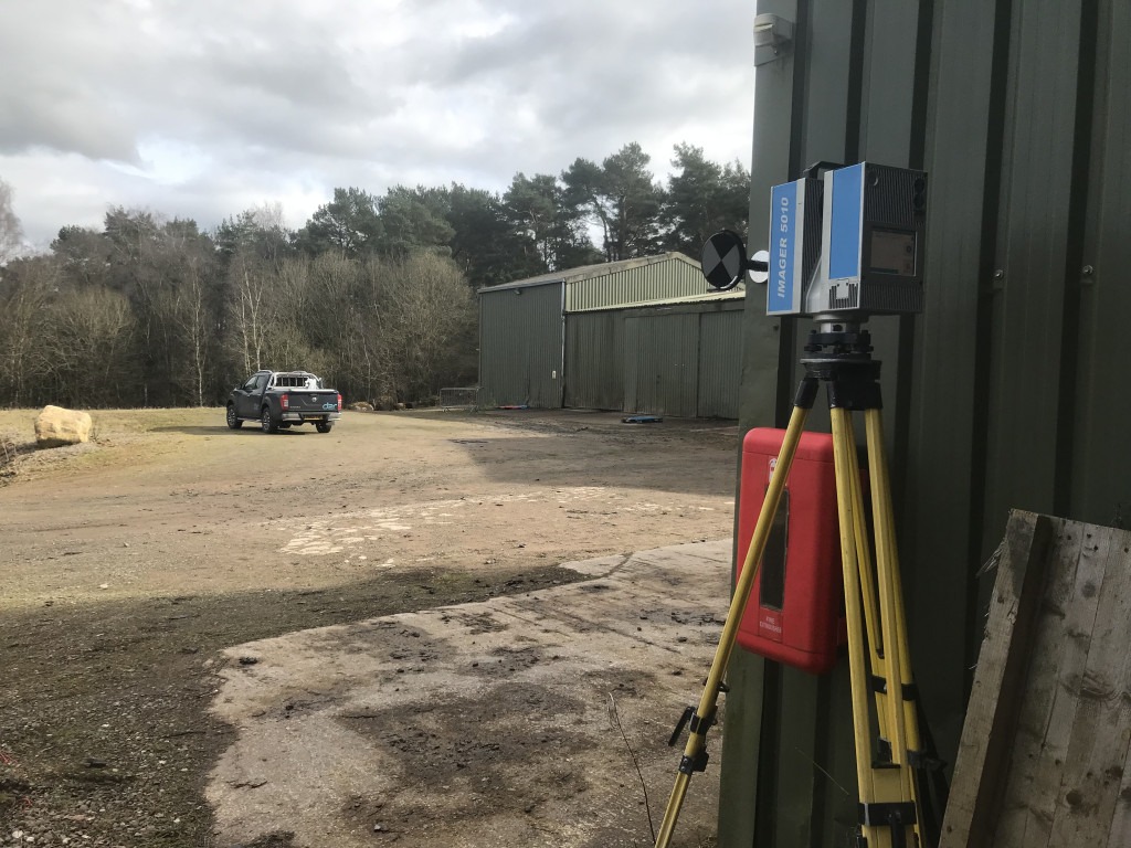
3D scanning to draw up existing plans of these industrial sheds. While the scanner is highly accurate, precise sizing of the universal beams and columns is checked with a set of calipers where I can reach.
Land Survey, Ingleton
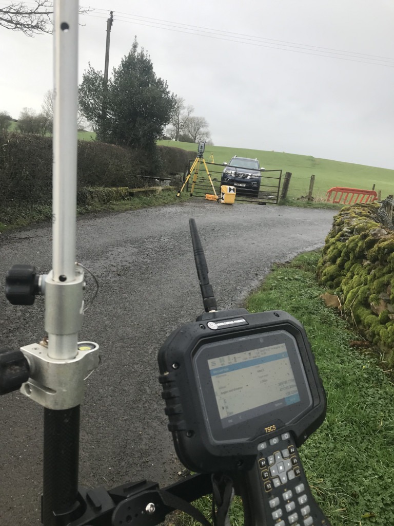
Surveying farm land outside Ingleton. The total station on the tripod is tracking the prism on top of the survey pole and communicates with the controller. I instruct the controller to record a measurement where I see fit to build the survey point measurements I need to produce a map.
Farm Survey, Newton, Near Clitheroe
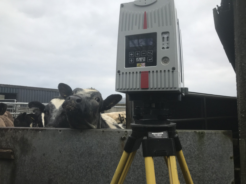
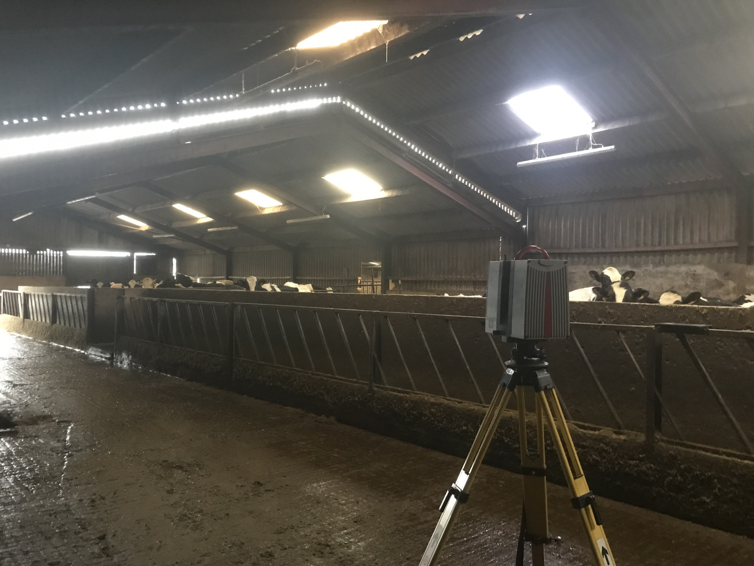
The steam shouldn’t affect the laser measurements too much, hopefully, as I don’t think anyone has calculated a coefficient for this scenario. Notice that the scanner is placed well outside licking distance. That comes from years of experience, well one incident when my traverse prism was licked over.