Established in 2005, based in Lancaster, UK, providing multidisciplinary expert surveying services in the North of England. Primarily North Lancashire, North Yorkshire, Cumbria and County Durham. That said we have surveyed in Poole, Westray, Orkney’s and the Isle of Man.
Accurate – Consistent – Reliable – Presentation – Delivery
With precise surveying equipment, a wealth of experience, we measure accurately and deliver well presented user-friendly survey maps, drawings and reports. From domestic dwelling projects to large scale developments, our surveys inform decision-making and the design process. We are constantly striving to leverage greater accuracy, consistency and efficiency from ever evolving technology and computing.
Survey Expertise
Below is a non-exhaustive list of the types of projects we are commonly involved in, elsewhere on the site there are detailed explanation of the survey processes and examples of completed projects.
- Topographical / Land Surveying
- Bathymetric and River Surveys
- Boundary Dispute Surveys and Title Plan Analysis
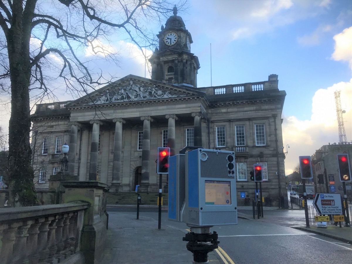
- Measured Building Surveys Floor plans, Elevations and Sections.
- 3D Scanning and Building Information Modelling, Scan to BIM
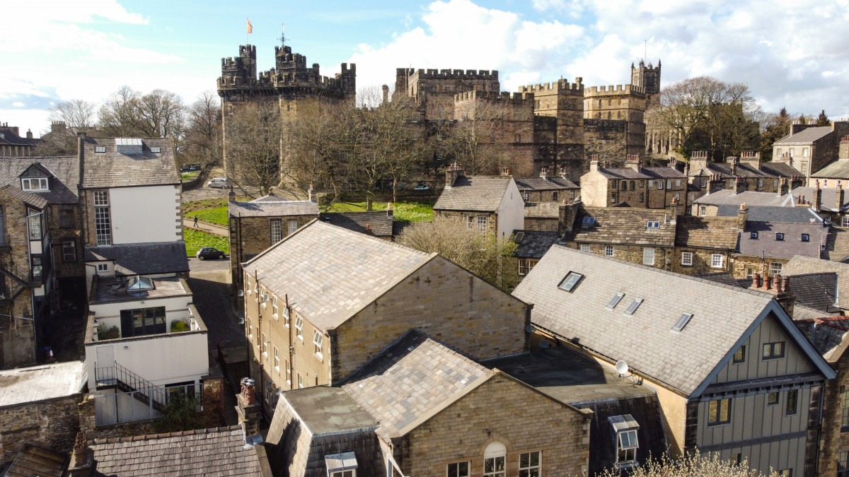
- Heritage Surveying
- Drone Survey Mapping and Inspection
- Structural Monitoring
- Volumetric Analysis
- Surface Flatness Analysis
- Site Engineering and Setting Out
- CAD Services
I am Wayne T. Bainbridge, the director and chief surveyor, personally responsible for every project.
Starting out as a surveying assistant for E Edmondson surveys in Penrith, I quickly moved into roads and sewers, setting out housing developments. From there on to structures for apartment blocks, multi-story car parks and industrial buildings. I spent a few years in utilities then back to muck, pipes, concrete, masonry and steel. Years spent interpreting and implementing construction design drawings and specifications. Feeding back new site conditions, value engineering and recording information with design and cost implications.
This experience I bring to your back garden topographical survey and in the same week I could be providing flatness analysis on a lift core, so that engineers can evaluate and decide to retain or demolish. On site, I know what is relevant, where to increase the detail and how to present the data so that it communicates effectively with the end user and the layman.
Start your project with the best possible information.
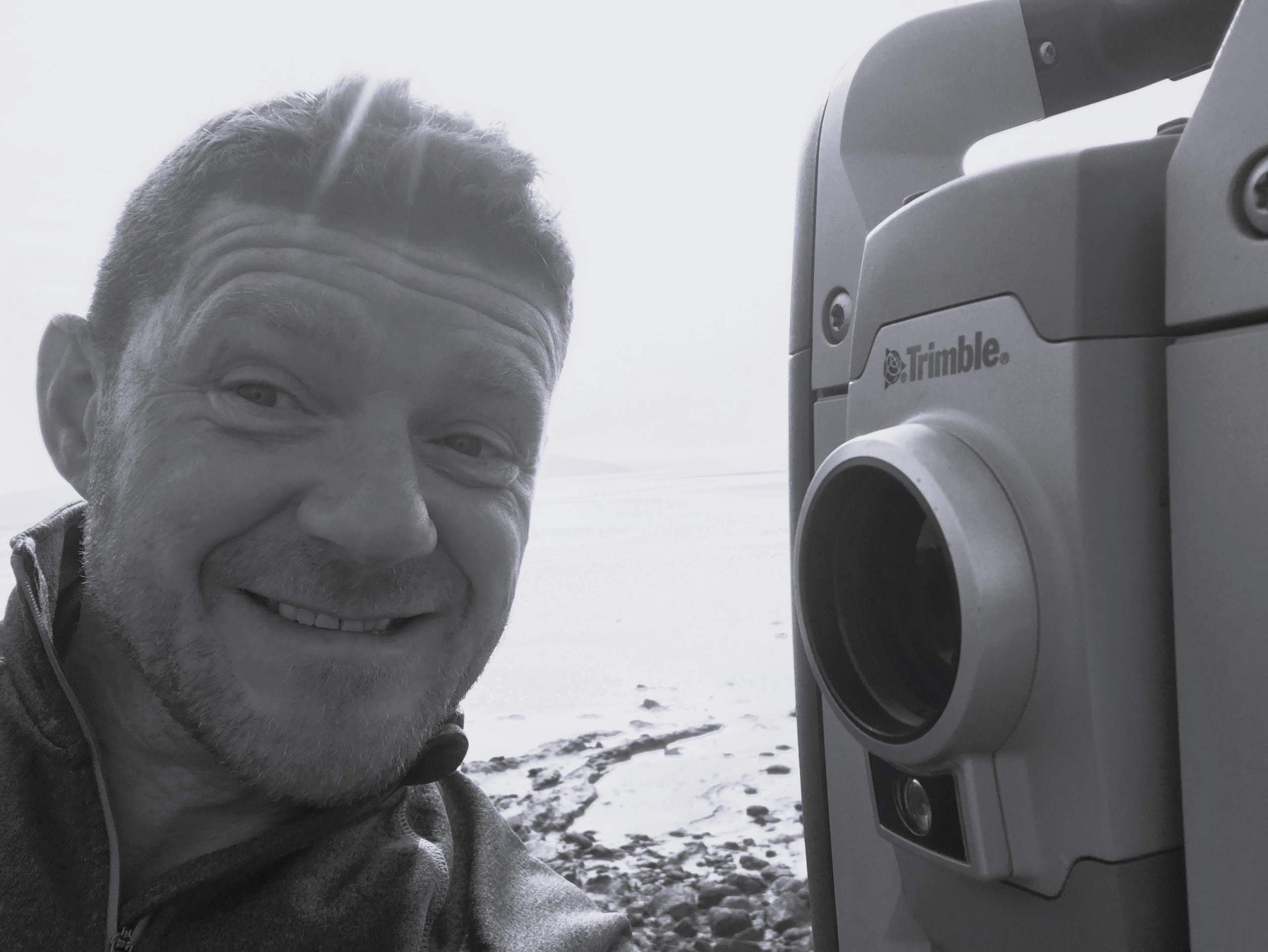
New selfie coming soon!