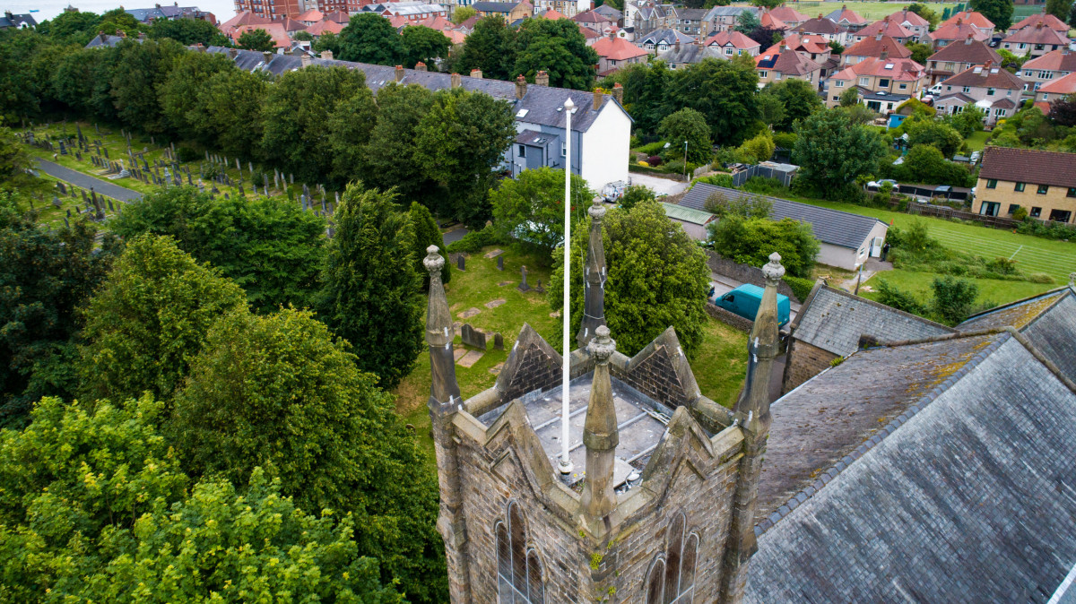
Drone Survey – Morecambe
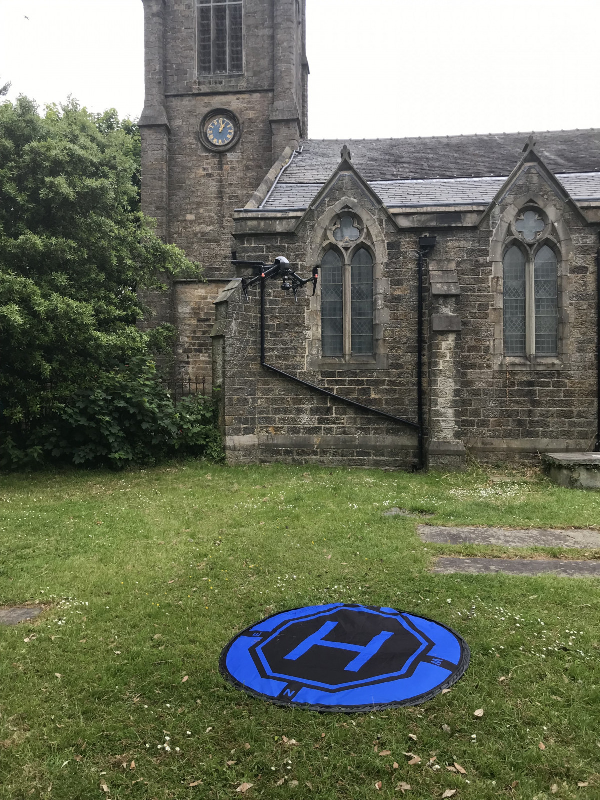
A drone survey of a church in Morecambe, using close-range aerial photography to capture the roof and facades of the building that are difficult to see or measure from ground level. These images were combined with ground-level photography to produce a detailed photogrammetric model for inspection and the production of CAD drawings.
Flying around buildings such as this requires considerably more care than an open-land mapping flight, with trees, the tower and the building itself restricting both visibility and the available flying space. The resulting model provides detailed coverage of the roof and high-level features without the need to physically access them.