Land Surveying in Kendal
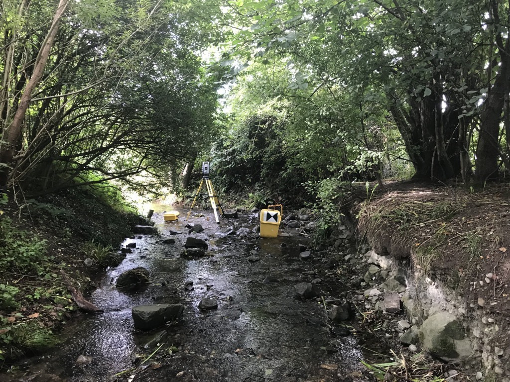
A lidar drone might measure the banks easier than this, but I would still need the survey pole to measure the bed levels. Often there is no substitute for The Total Station. This survey is recording bank erosion and the undermining of a footbridge.