Drone Survey – Bay Horse, Lancaster
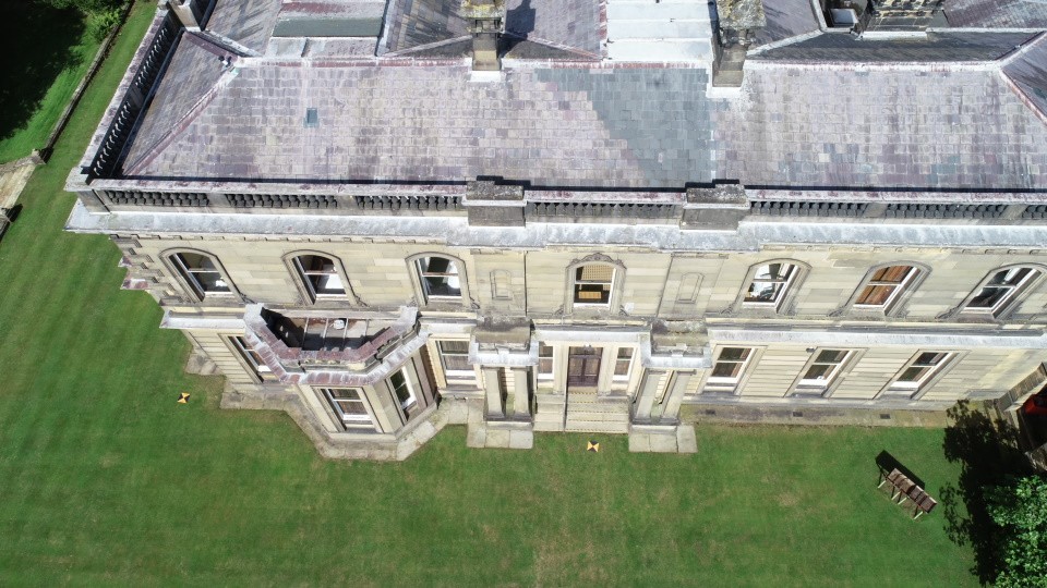
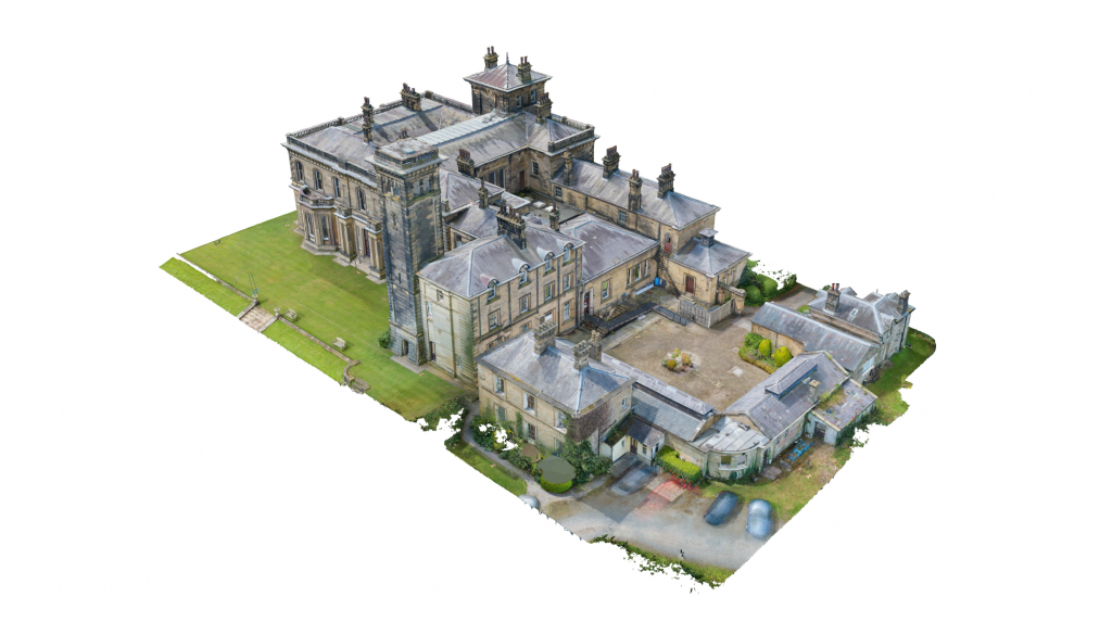
A drone and ground-based photogrammetry survey of this large and highly detailed building Bay Horse, Lancaster. Aerial photography allowed the roofs, chimneys, towers and other high-level architectural features to be captured in considerable detail.
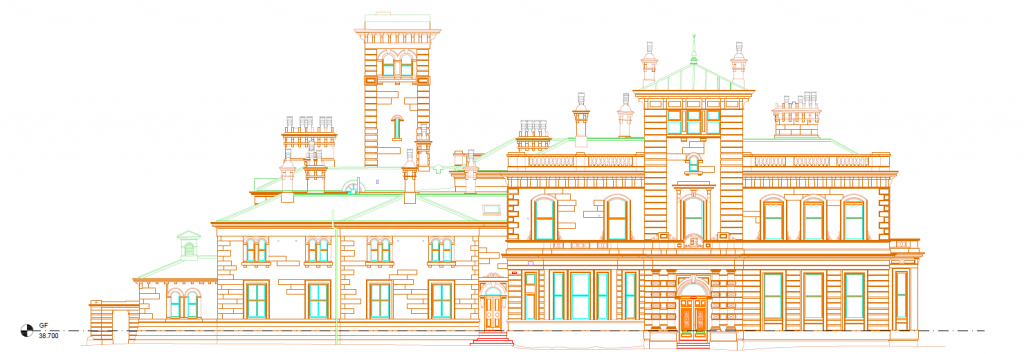
The aerial and ground photography was combined to produce a detailed 3D model of the building. This provided measurable survey data from which the elevations and complex roof details could be interpreted and drawn in CAD.
Buildings such as this are particularly well suited to photogrammetry, where the combination of drone and conventional survey techniques allows intricate architectural detail to be recorded without needing physical access to every part of the structure.