Surveyor Blog
Bathymetric Survey, Wingate Reservoir
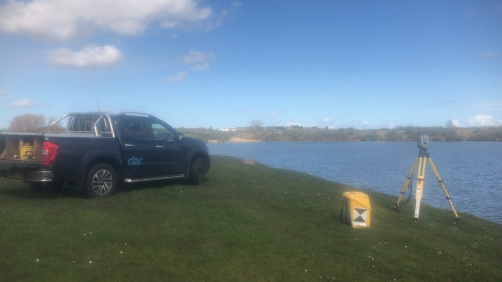
We needed to calculate the reservoir volume up to the spillway level. Using a radio-controlled boat with a sonar device, navigating on a grid pattern, the total station was continuously measuring to a prism attached to the deck. Back in the office, we had to match the timings of the “ping” depths to the prism position.
Topographical Survey beneath the Calders, Sedbergh
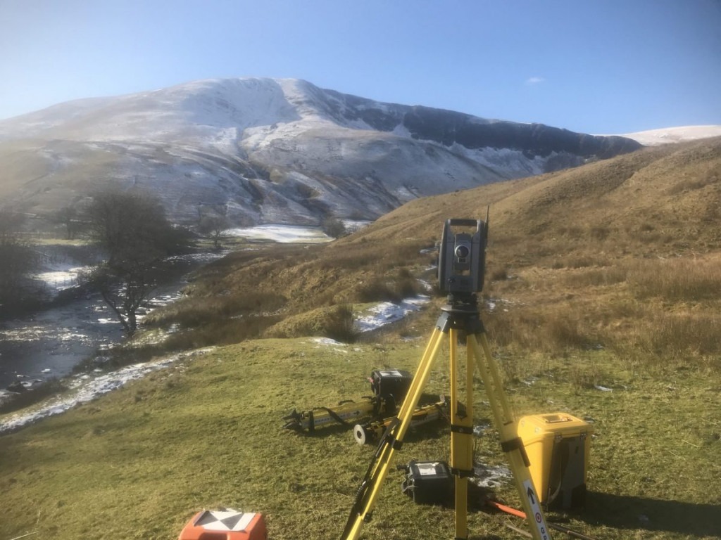
Land surveying including a footbridge in need of an overhaul. We used the total station above and a 3D scanner to better capture the inaccessible river embankment ground levels.
3D Scanning, Kirkby Lonsdale
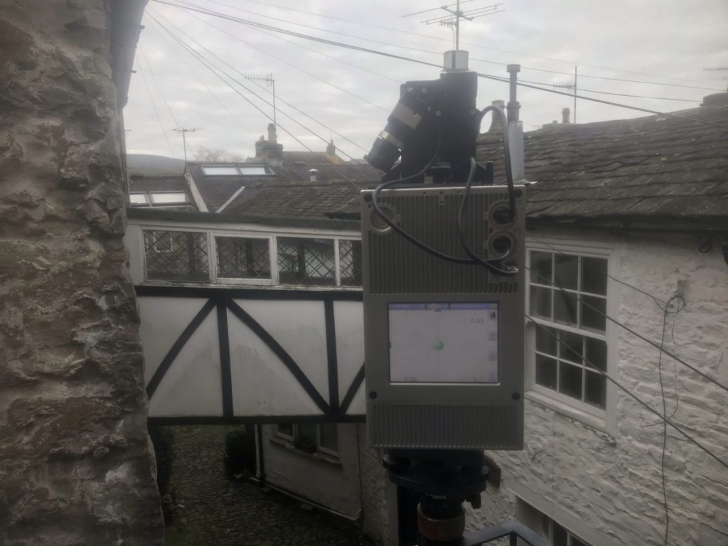
Measured building survey down one of the cobbled side streets of Kirkby Lonsdale, with an unusual link to between neighbour’s houses. 3D scanning to produce existing plans, elevations and sections
Land Surveying on Safari / Dalton-in-Furness
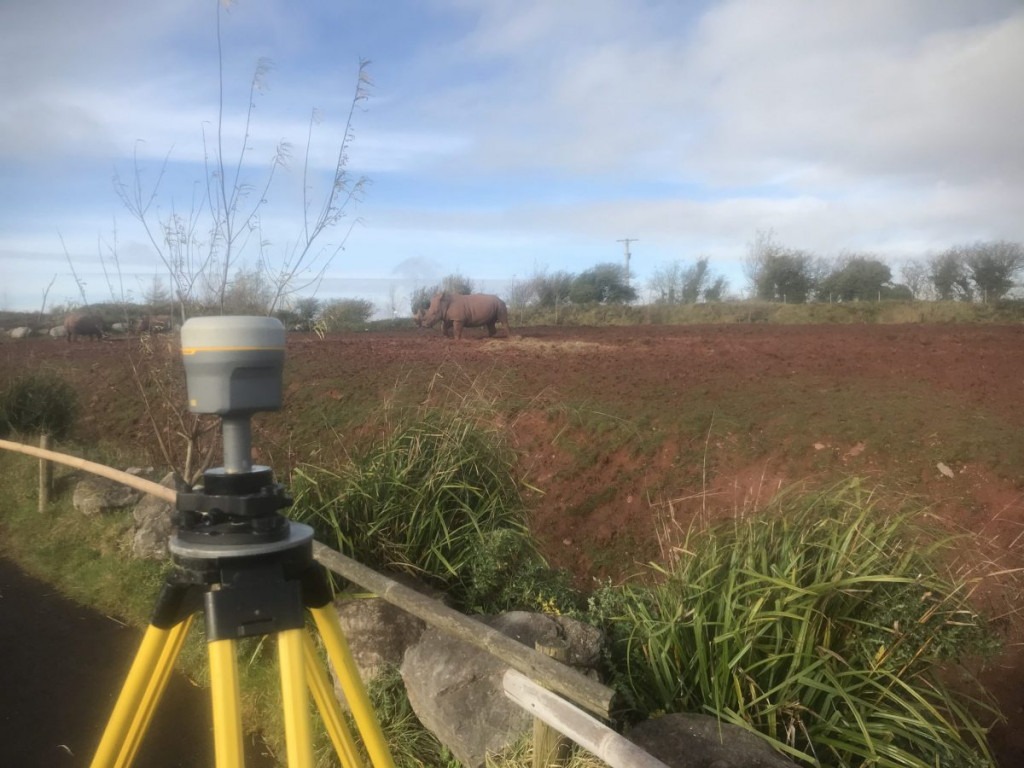
Topographical survey needed to design observation platforms further infield.
Topographical Survey, Port of Barrow
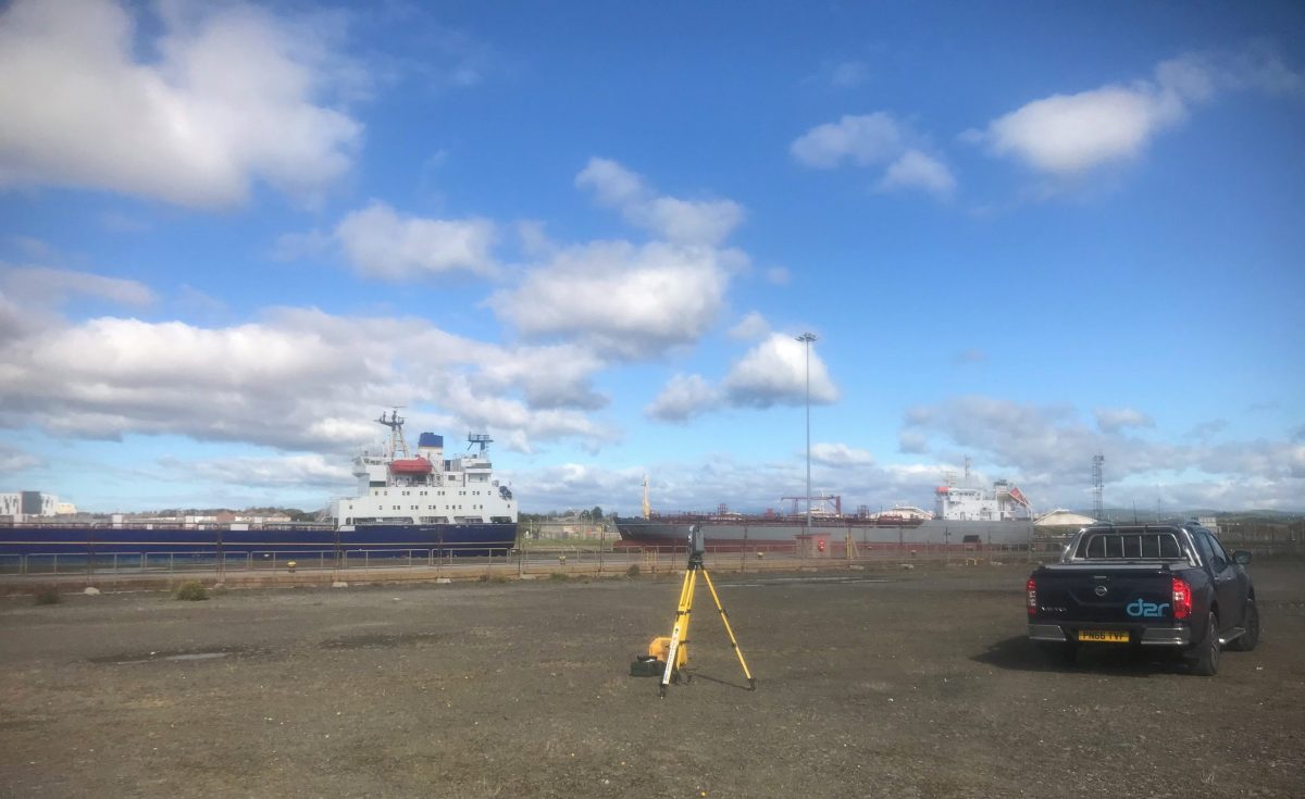
Land surveying on Cavendish Dock. Flat with few obstructions, the surveyors favourite scene.
Land Survey, Windermere
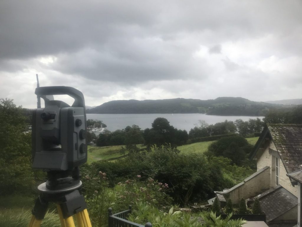
Land surveying around the grounds of a hotel overlooking the lake. Steep banks and terraces make for a good day’s work for a small area.
Land Surveying, Matterdale Fells
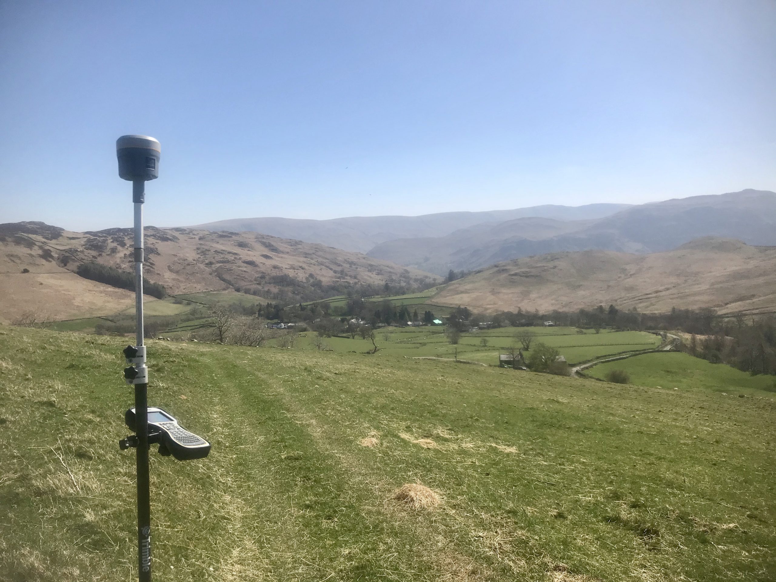
In the Matterdale fells, land drains installed by WW2 POW labour are still in use but prone to blockages. The outfalls were mapped and a standard map produced. In addition, we added the locations to an interactive map application, so they could be located using a mobile device.
Land Survey, Sandside, Milnthorpe
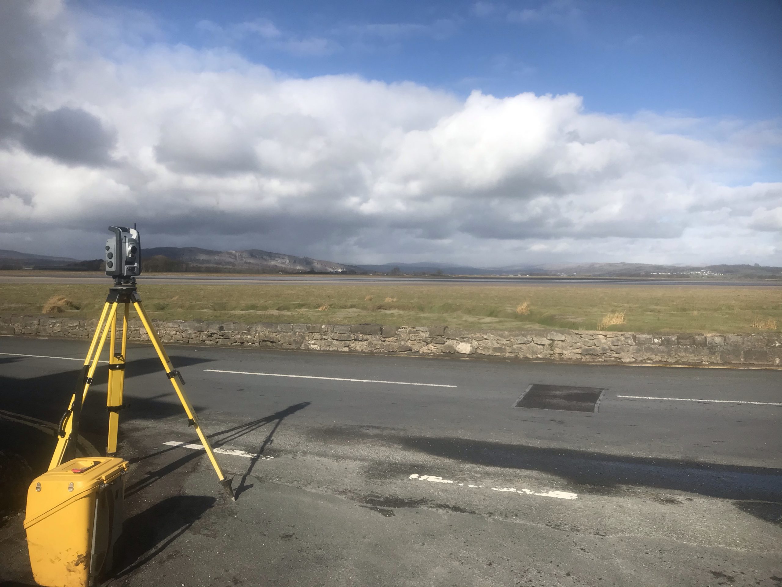
Topographical survey for development.
Surveying in Brampton
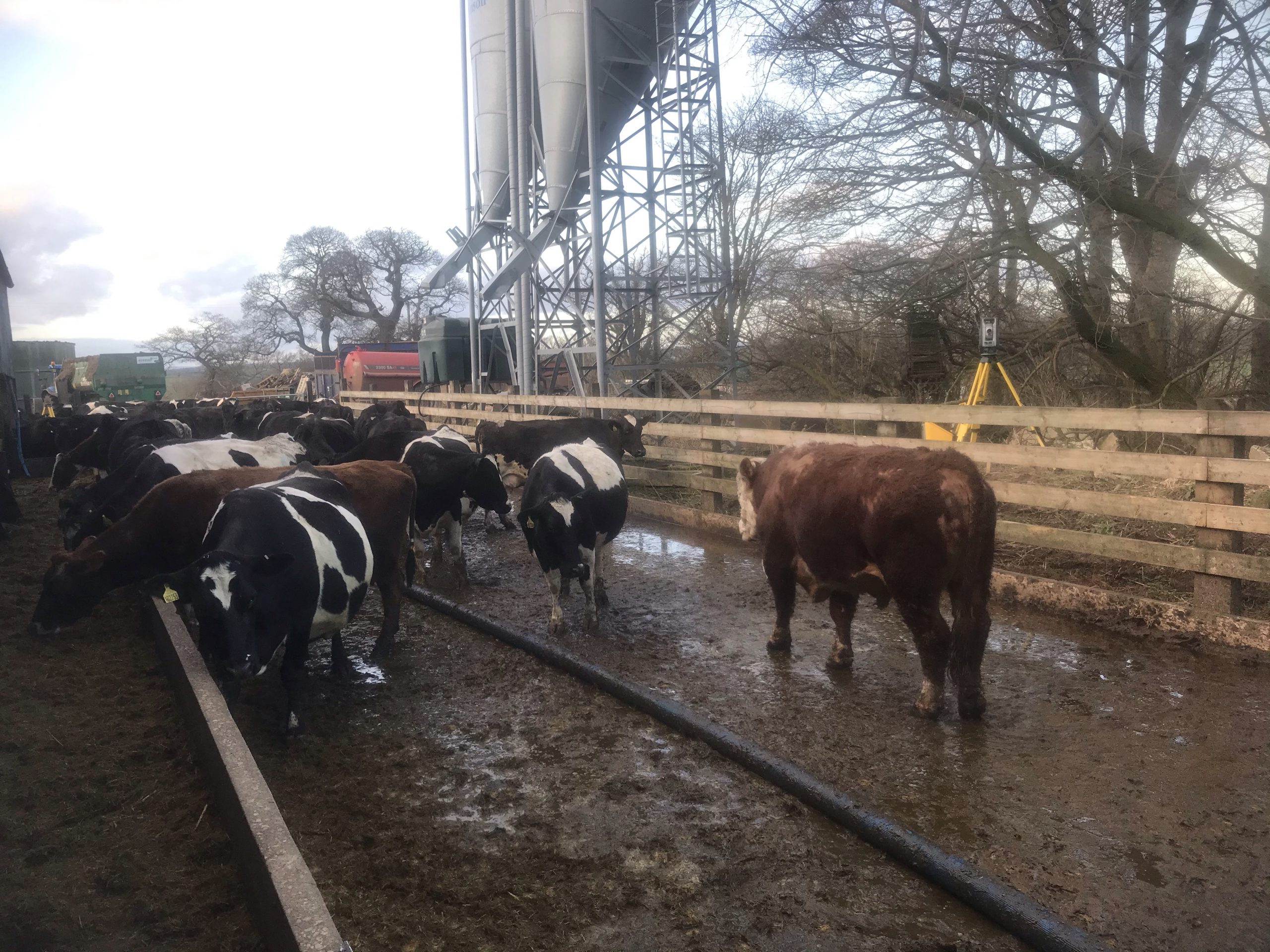
Yes, that is a bull! Land and measured building survey on a farm complex.