Facade Scanning, Barrow-in-Furness
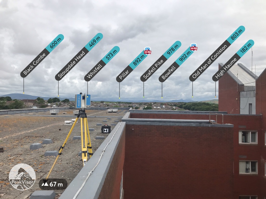
3D scanning while checking out the view. I have walked up Scafell Pike, and Coniston of those. Using the scan data, we draw a true vertical model facade wall based on the building line at ground level. We can then compare that theoretical surface to the scan data. This will reveal how plumb the walls are, and potentially wall tie failure. We will present the data as per the example in Structural Monitoring.