Surveyor Blog
Land Survey, Stapleton, near Carlisle
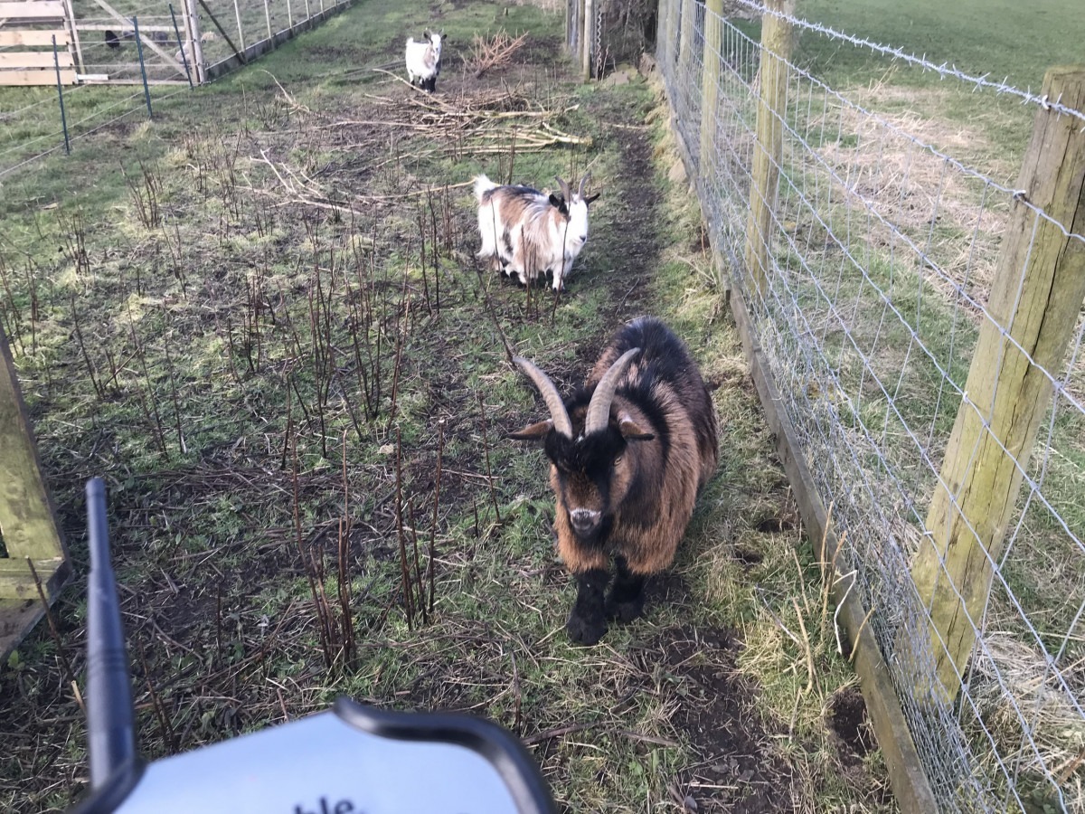
Land surveying with timid but inquisitive helpers. Mapping a farm complex for the redevelopment of dilapidated agricultural buildings.
Land Surveying, Sedbergh Road, Killington
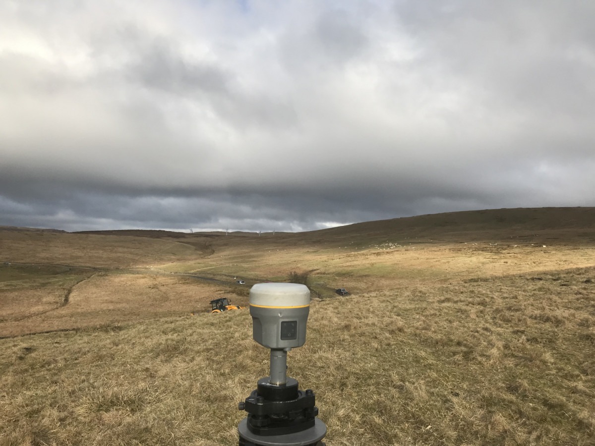
Land survey, including the highway for road improvement works. Lambrigg Wind Farm in the distance.
Surveying a Property at Ravenstonedale
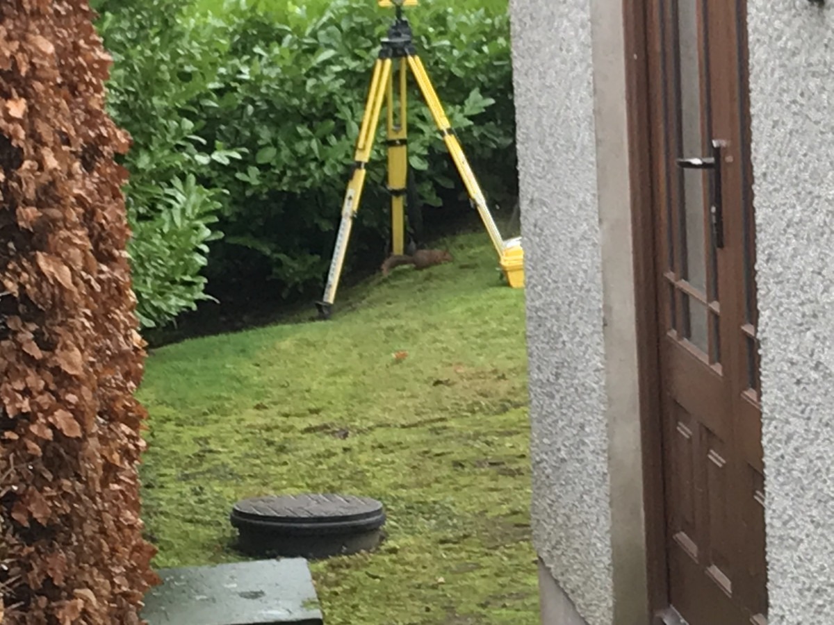
Just to add to my wildlife montage, a Red Squirrel. Topographical and measured building survey of a property for renovation and extension works.
Bridge Survey in Birkdale, Richmondshire
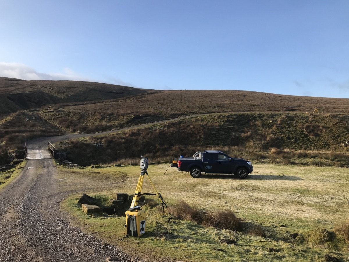
Not exactly the Forth Bridge, but it still needs measuring up for repair work. That’s when you have managed to find the site.
Bridge Survey in Brigham, Cockermouth
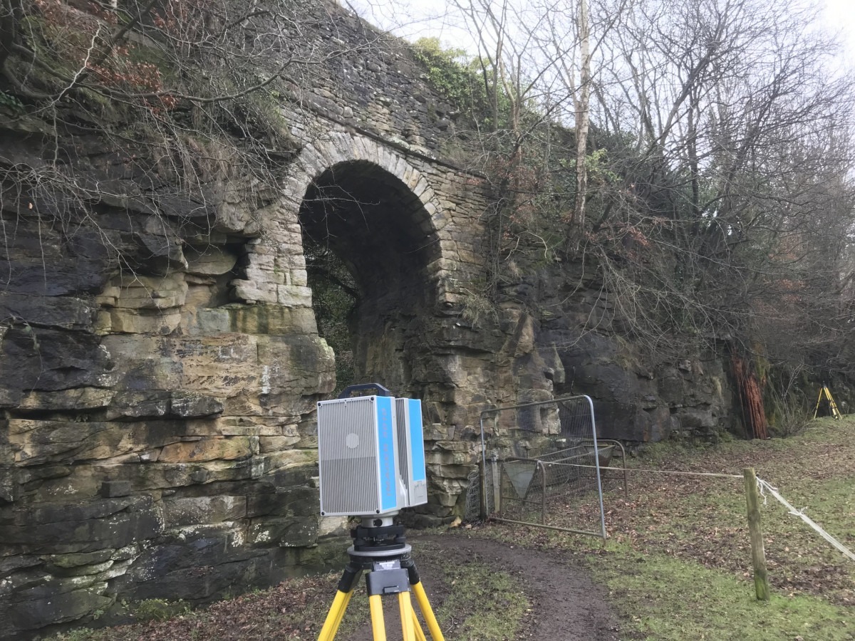
I am not sure if I’d chance driving over this old stone arch built to access a disused quarry in Broughton. Topographical survey plus 3D scanning to draw elevations and sections for repair work planning.
Land Survey in Duddon Valley
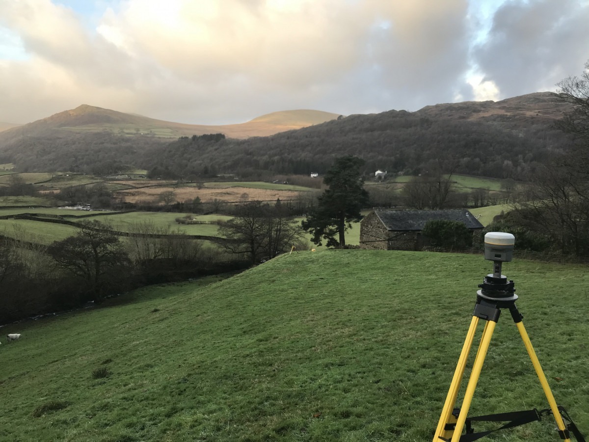
Measuring a control point, Dunnerdale-with-Seathwaite. Land survey required to design a flood drainage scheme around a cottage in the dip. Whitfell and Hesk Fell on the other side of the valley. You could say it’s a day’s hiking rather than work.
Deformation Study in Lancaster
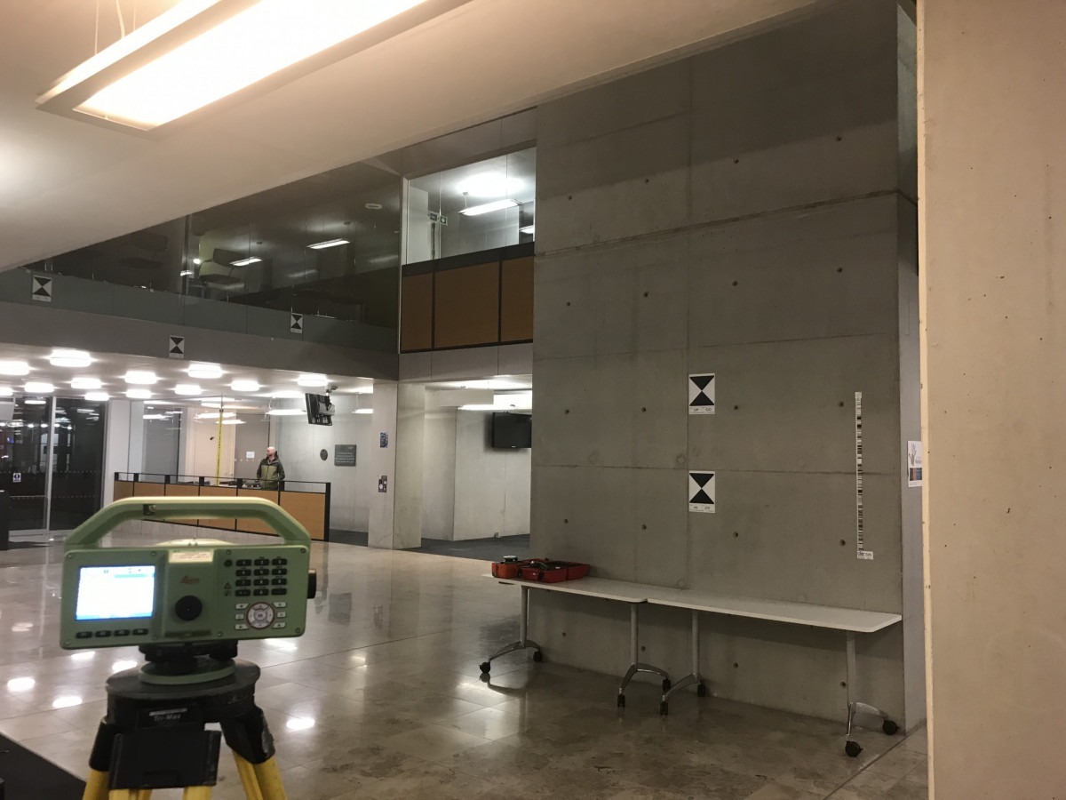
I have been measuring this ceiling for several years. First, we 3D scanned the soffit to produce an elevation ramp Periodically, I measure fixed targets with an optical level and a digital level, which achieves only slightly better accuracy, but increases efficiency and reduces the chances of booking errors significantly.
Measured Building Survey, Burneside, Kendal
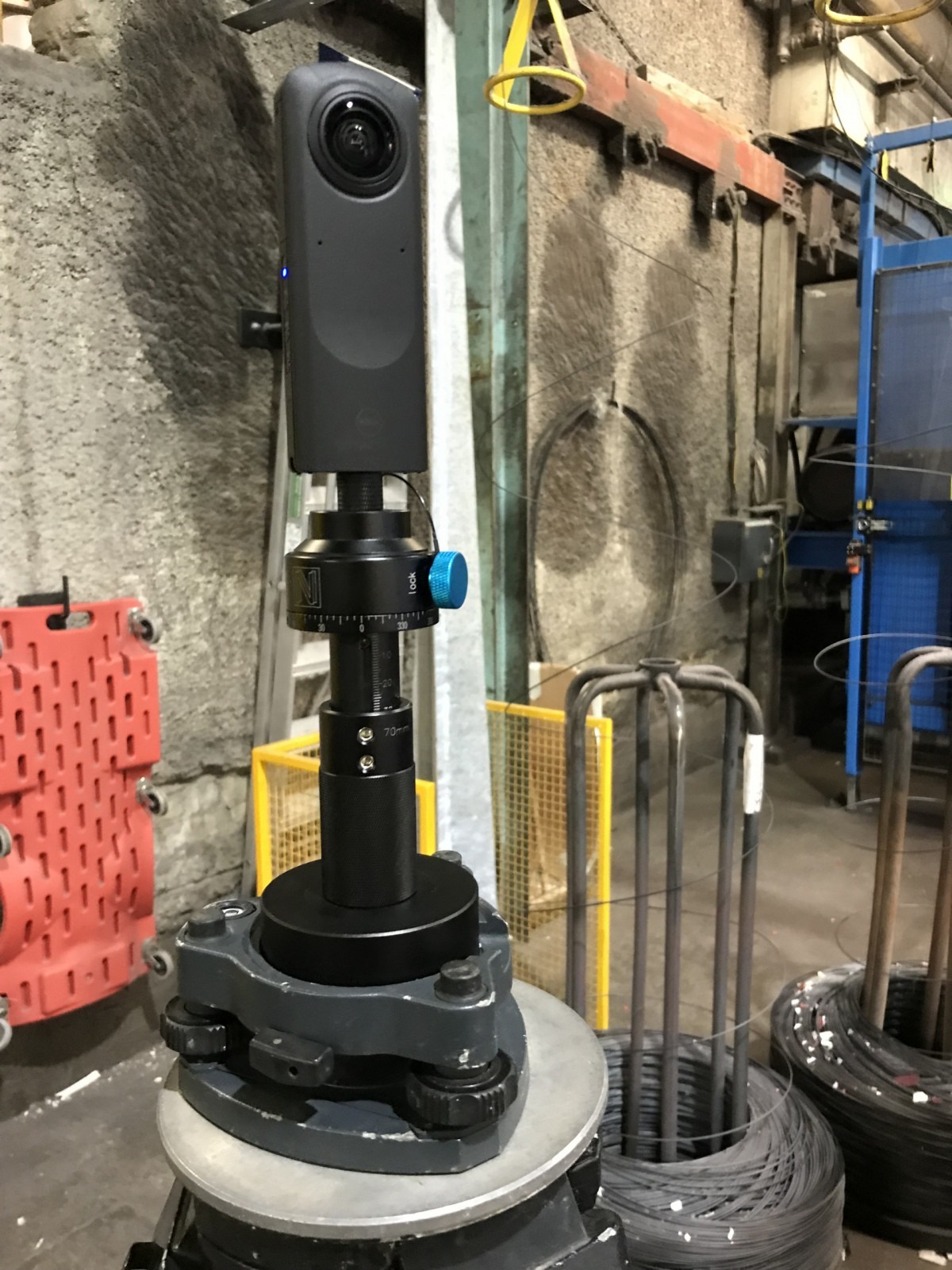
Trial use of a Ricoh Theta Z1 to colourise scans using the Dual fisheye plugin. A 90deg USB-C cable is needed to connect a power bank, as the internal battery doesn’t last long. In this environment I shot 7 HDR brackets which turned out well in the darkest of corners. I shot twice at each location at 90 deg. Developed in Lightroom, stitching in Theta Stitcher. This only allows one image set, so I moved onto PTGui to stitch the 4 images. This needs refinement, as parallax errors are evident when the panorama has been stitched to the scan.
Land Survey, Great Ayton
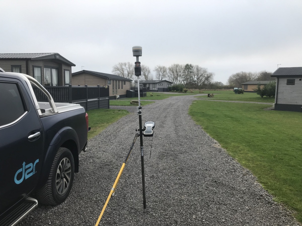
Lodge park surveying, definitely a job for the drone, however using a GNSS receiver on top of a 360 prism, when out of the sight line of the total station, i.e. behind a lodge, the measurement is recorded with the GNSS R10. This survey method does save significant time.
Land Surveying, Nawton, North Yorkshire
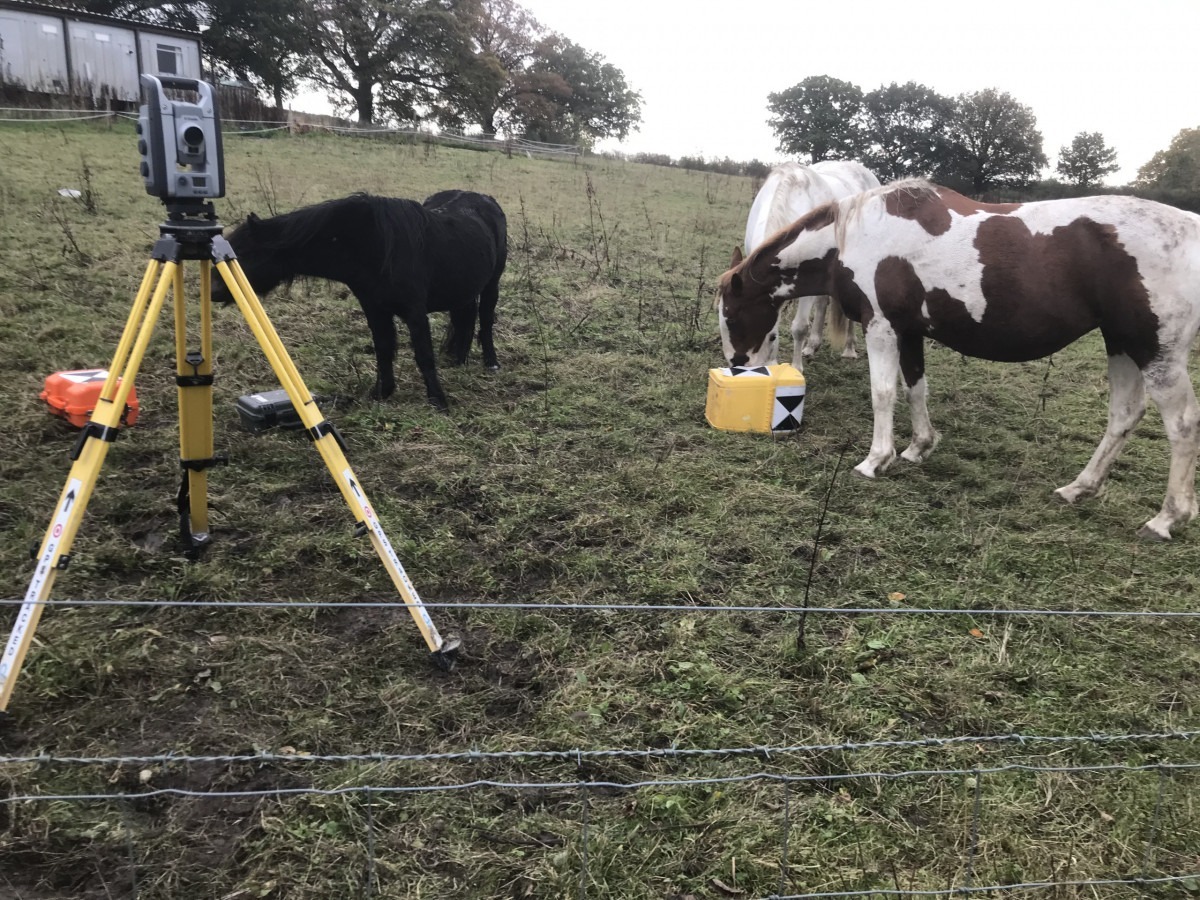
Substantial land survey for a lodge park extension. As long these horses don’t push my gear over, we will get on fine.