Surveyor Blog
Bridge Survey, Sizergh, Kendal
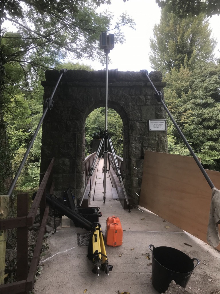
Scanning a footbridge to provide detailed drawings for heritage preservation and future planning of maintenance. This Nedo elevating tripod I usually use for loft hatches comes in handy.
Measured Building Survey, Lancaster
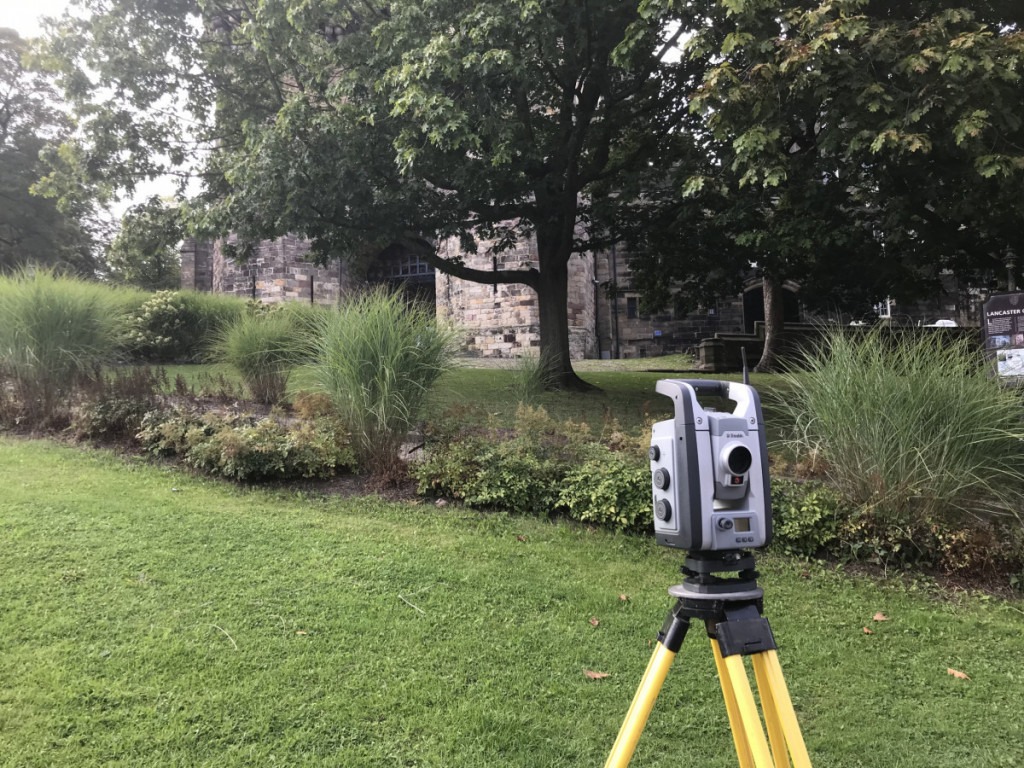
Working into an alley opposite Lancaster Castle for a measured building survey of an apartment block. Urban environments can pose problems in obtaining a satellite position fix to start a survey. Usually a crossroads provides some open sky in opposing directions.
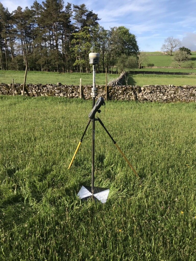
Land Surveying near Hawkshead
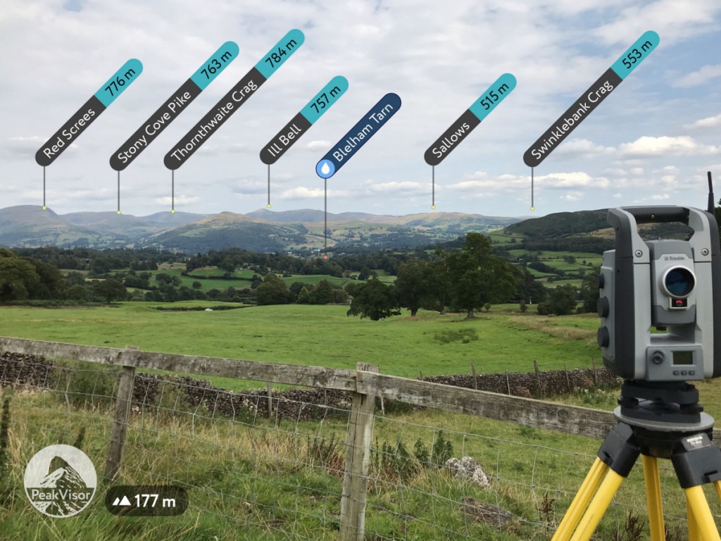
Land surveying around a farm complex for potential lodge development. I can’t say I have been up any of these peaks but there is time yet.
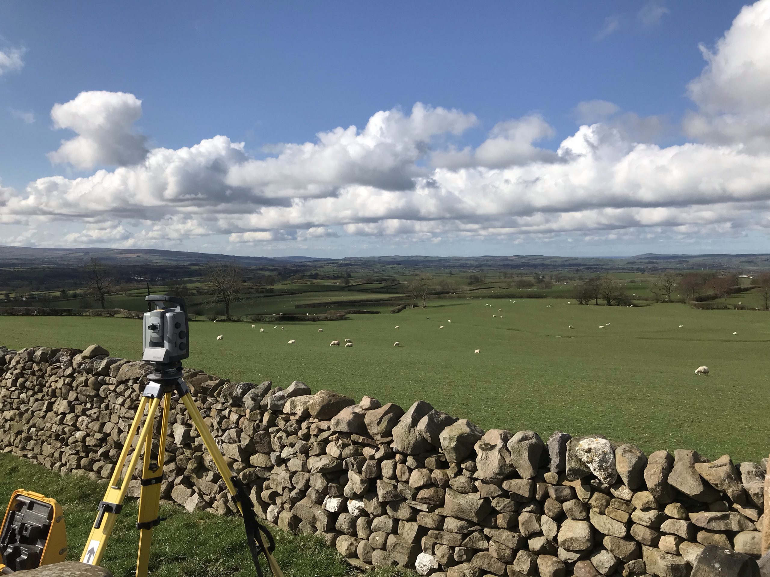
Land Surveying, Dalton in Furness
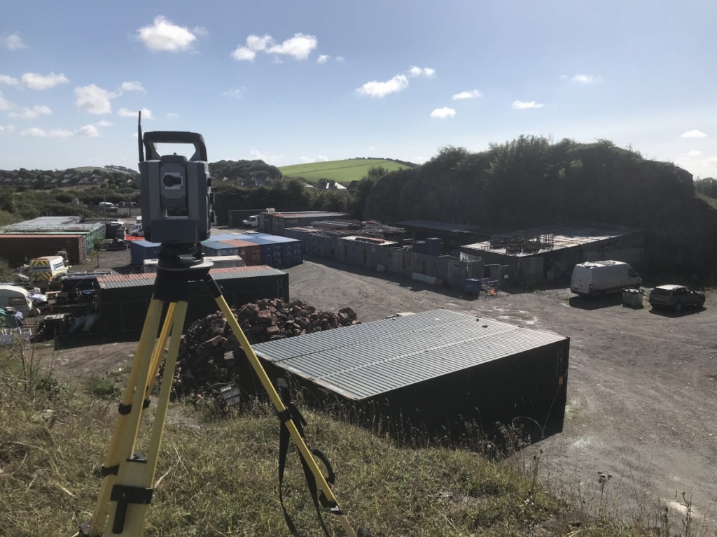
Land surveying of an old quarry for potential redevelopment. Taking the high ground provides wider optical sight lines. The less number of times we have to move the instrument, the quicker the job is done.
Setting Out, Ullswater
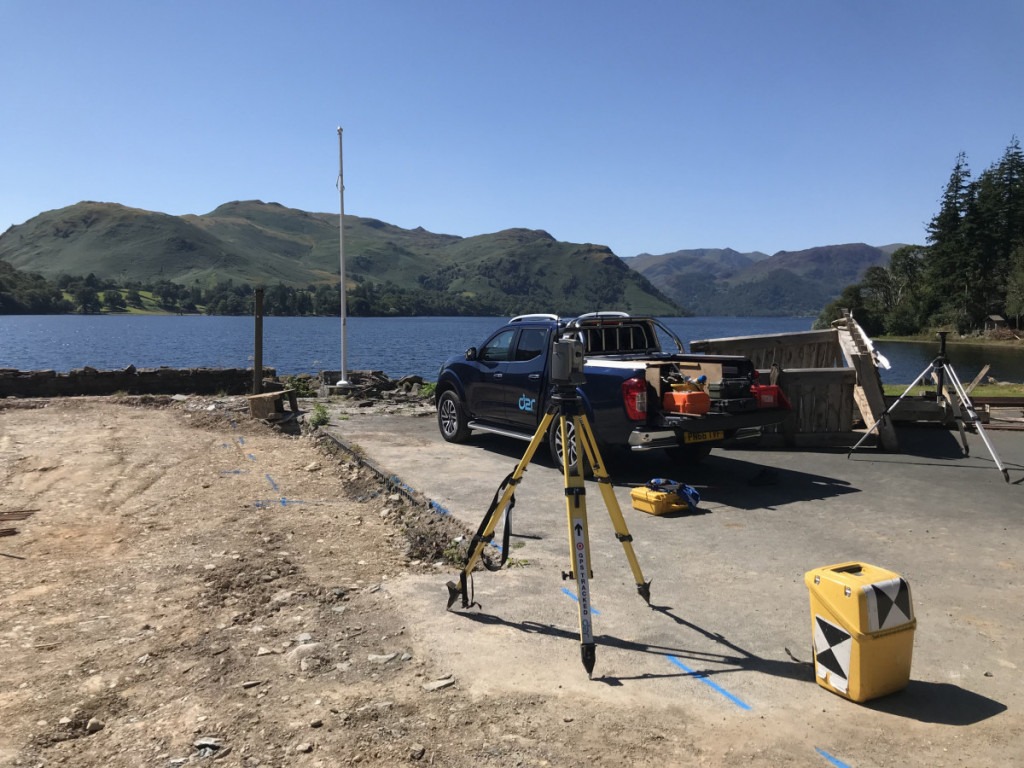
Setting out foundations for a new build on the shore of lake Ullswater. This is a seriously good view on a fine day.
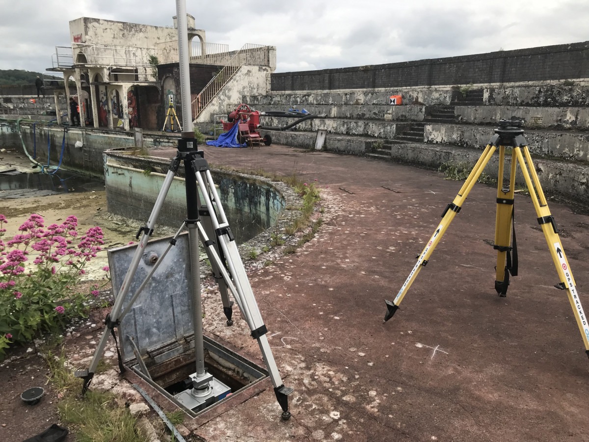
3D Model of the Lido, Grange-over-Sands
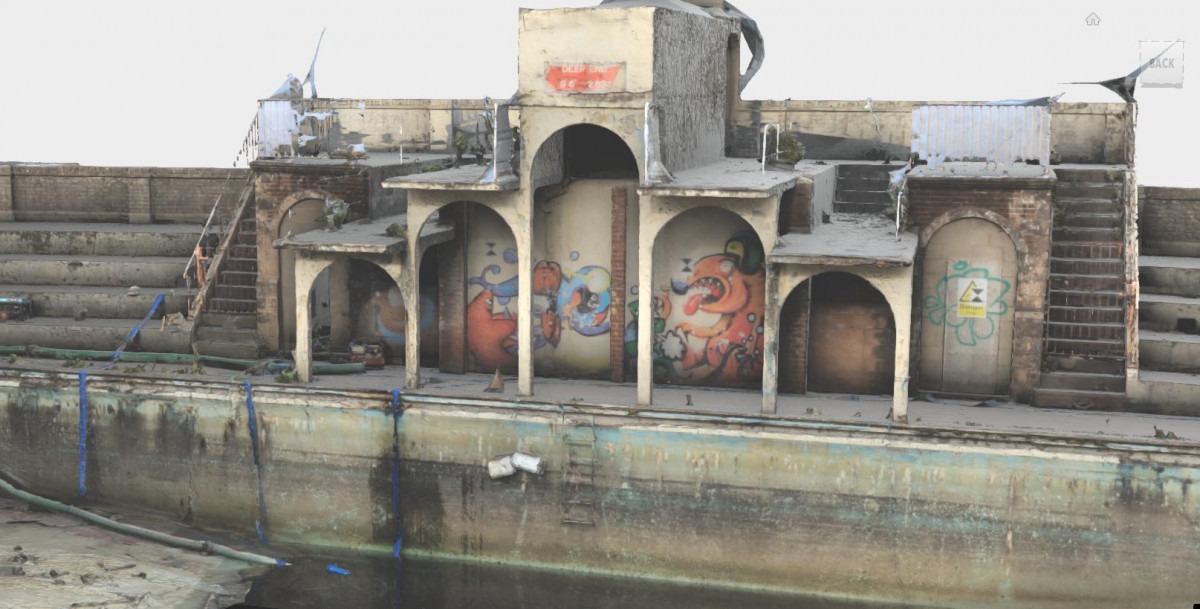
3D mesh model generated in Reality Capture software from a combination of Z+F laser scan data and Canon 5Ds R images using a EF 11-24mm lens. The detail level, which can be captured, is impressive.
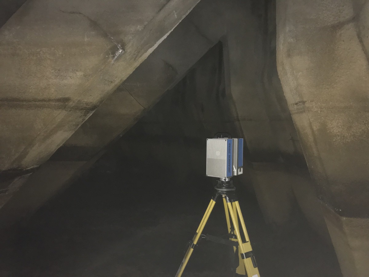
Measuring inside the water tanks so that a volume can be calculated.
3D scanner descending into the water tanks. Each scan has to have sufficient overlap with another to bind it into the whole point cloud of measurements.
Drone Mapping Survey, Ravenstonedale
We do now have Topodrone PPK functionality on the DJI Inspire 2, this means we can accurately position each image before processing. We still need some ground control to check this accuracy. This project is for watercourse re-meandering. The drone photography is combined to produce a 3D mesh model from which we can extract standard contour information.
Surveying, Lakeside, Newby bridge
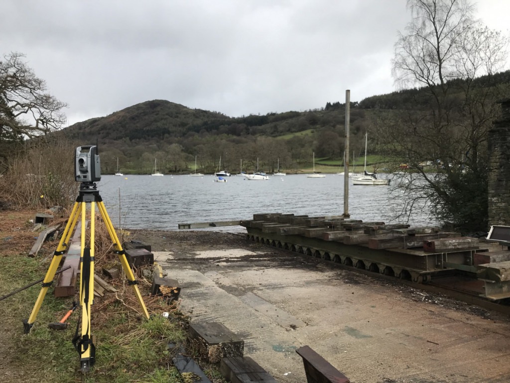
Measuring the track profile to find a hump which is causing boats to tip while being winched in for maintenance. The tracks will be realigned to a constant gradient.
Measured Building Survey, Blackrod, Bolton
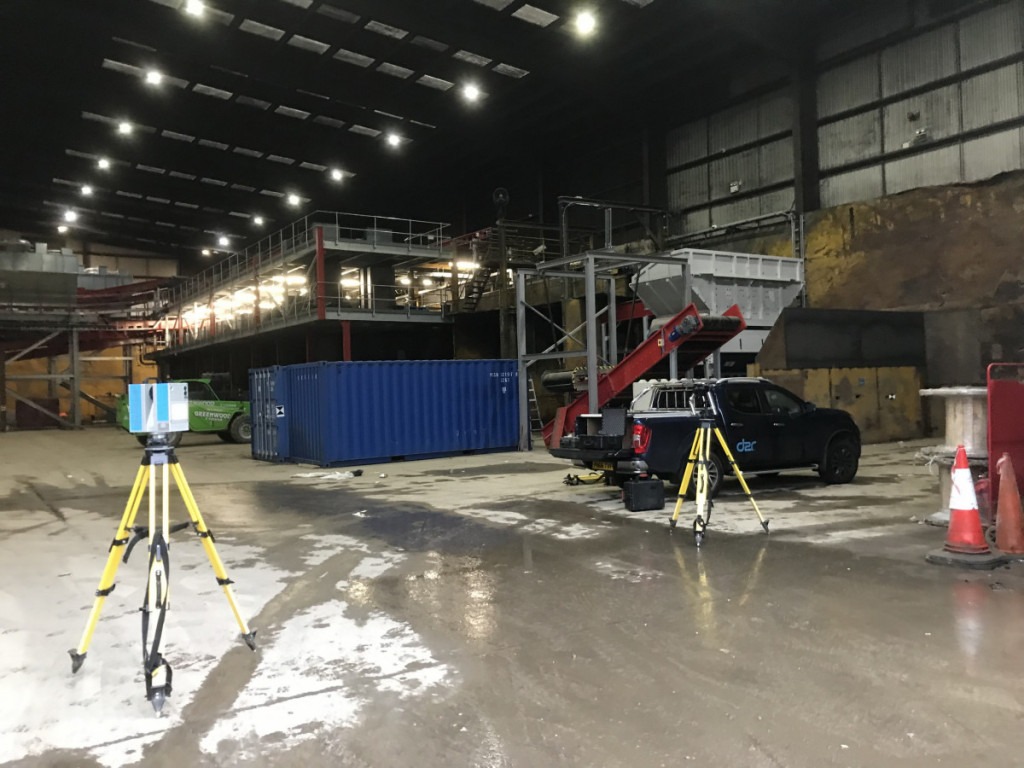
3D scanning to produce plans, elevations and sections for the evaluation of new recycling machinery.
Land Surveying, Westhouse, Ingleton
Topographical survey for a domestic dwelling development on a farm complex.