Surveyor Blog
Land Surveying, Albrough, East Riding
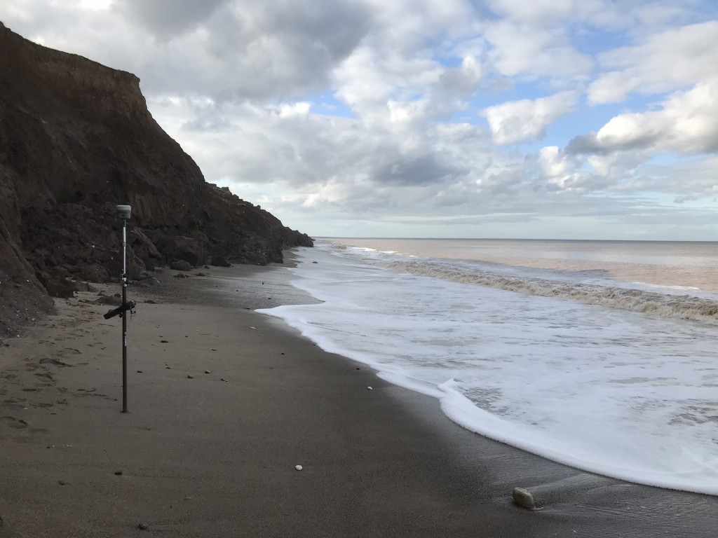
Topographical survey for a holiday lodge development, on top of the cliff and a bit further back. You would hope.
Drone Survey in Bentham
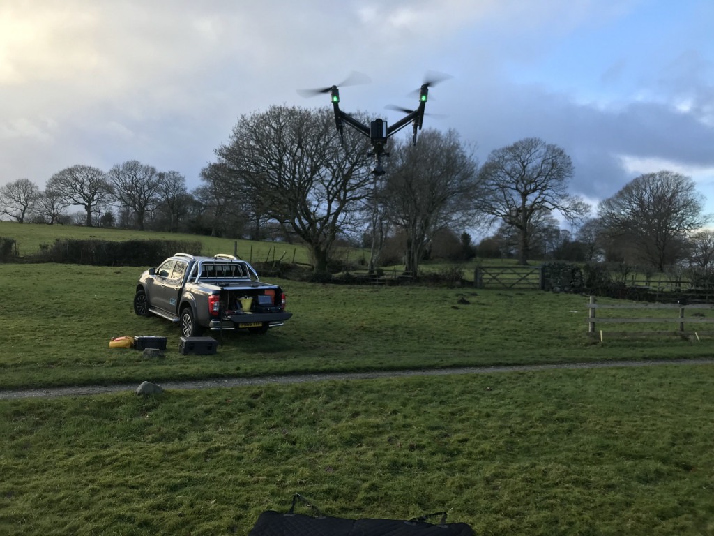
UAV (unmanned aerial vehicle) / drone survey of a farm complex to produce a site wide 3D mesh and colour point cloud. These will be used to produce 3D design proposals in-situ of the existing landscape, providing context.
Surveying at Dunsop Bridge
Topographical survey and building elevations for redevelopment proposals at Dunsop Bridge.
3D Scanning on Morecambe Promanade
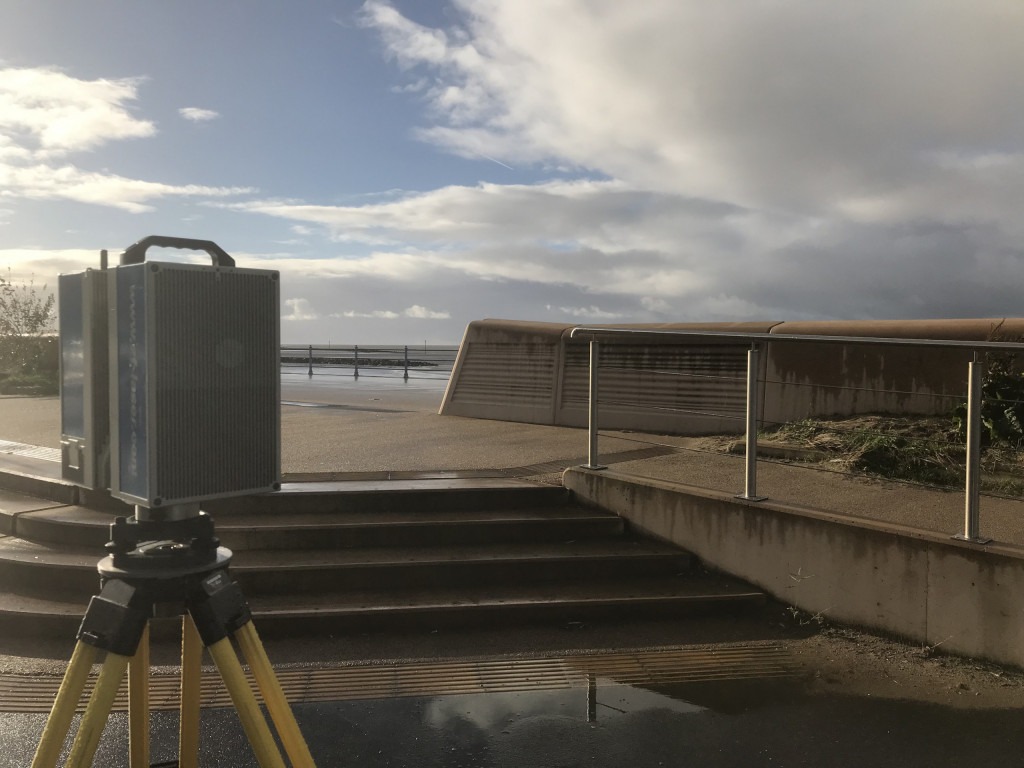
Truthfully I was actually measuring a property opposite. I had to get this far back to capture the roof of a tall Victorian terrace.
Land Surveying above Silverdale Cove
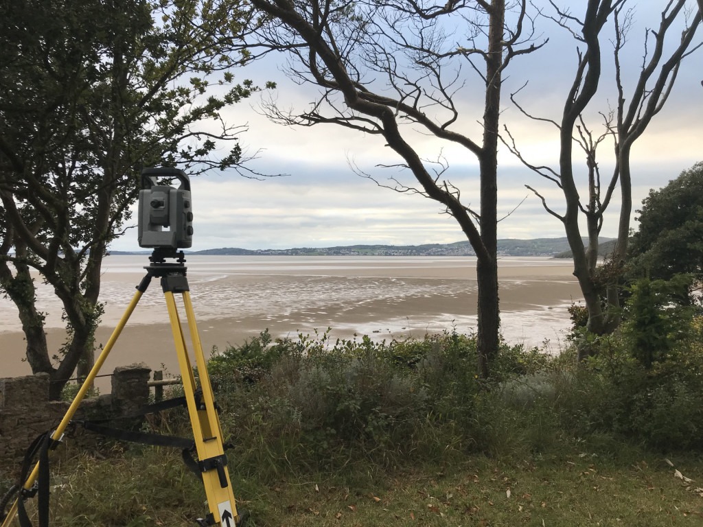
Topographical survey in the grounds of a large residential building for extension design proposals.
Boundary Survey, Bay Horse, Lancaster
Interested but not threatening, unlike frying pan wielding neighbours. Yes, that does happen!
Bathymetric Survey, Wingate Reservoir
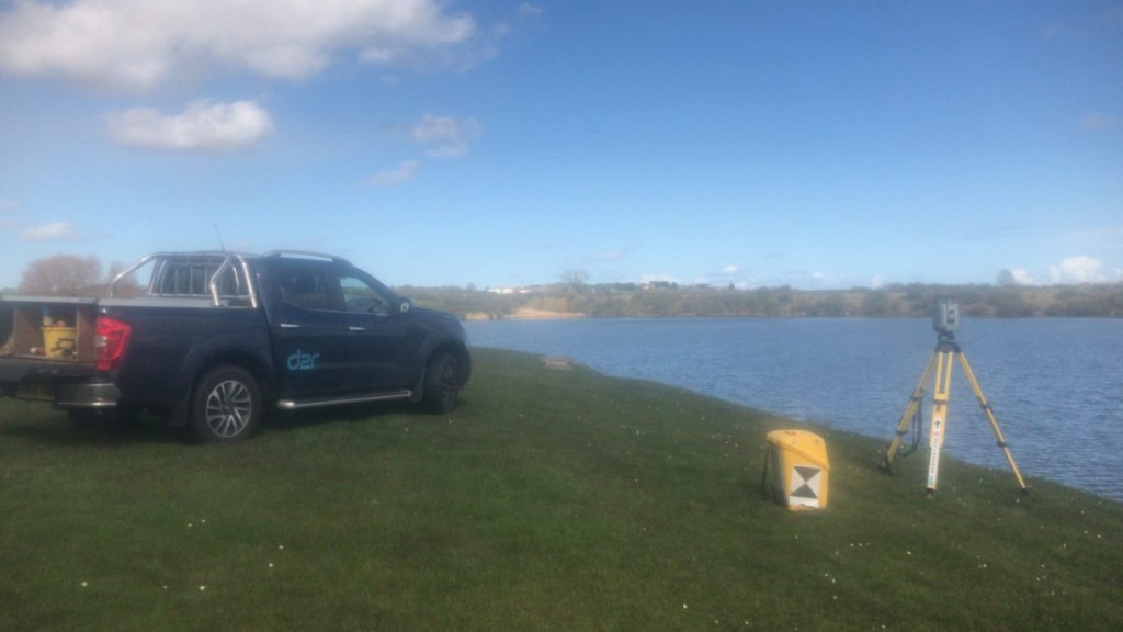
We needed to calculate the reservoir volume up to the spillway level. Using a radio-controlled boat with a sonar device, navigating on a grid pattern, the total station was continuously measuring to a prism attached to the deck. Back in the office, we had to match the timings of the “ping” depths to the prism position.
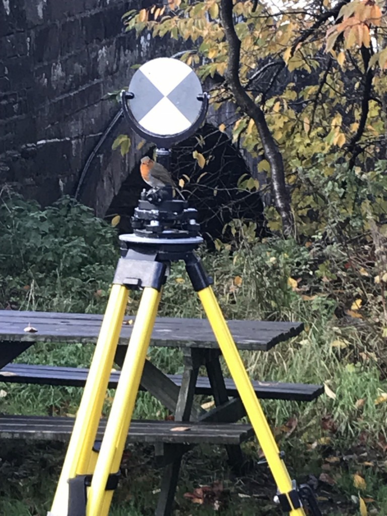
Topographical Survey beneath the Calders, Sedbergh
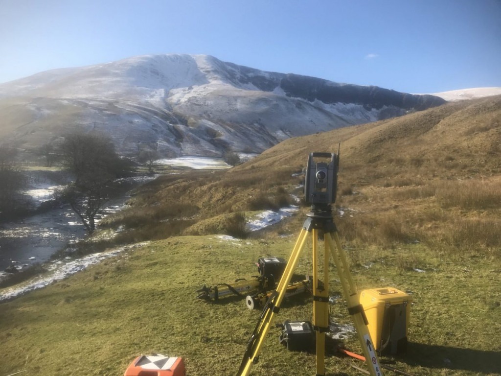
Land surveying including a footbridge in need of an overhaul. We used the total station above and a 3D scanner to better capture the inaccessible river embankment ground levels.
3D Scanning, Kirkby Lonsdale
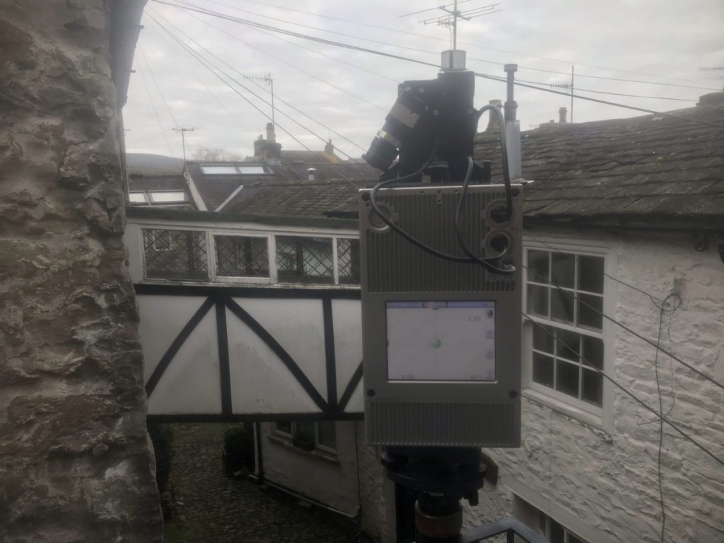
Measured building survey down one of the cobbled side streets of Kirkby Lonsdale, with an unusual link to between neighbour’s houses. 3D scanning to produce existing plans, elevations and sections
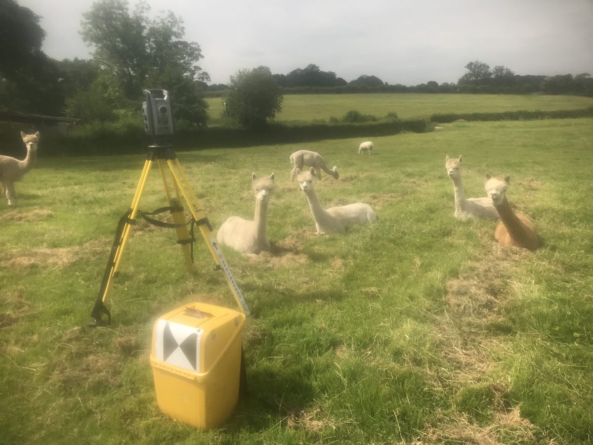
Land Surveying on Safari / Dalton-in-Furness
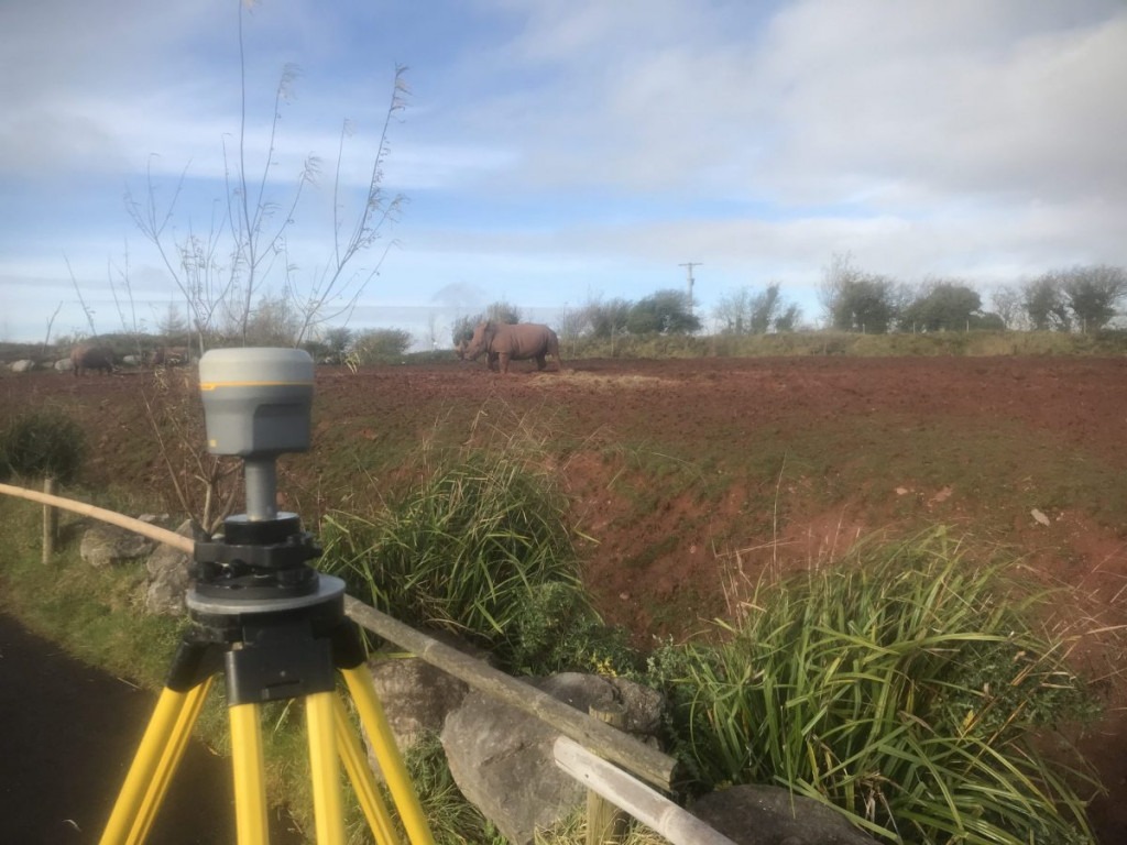
Topographical survey needed to design observation platforms further infield.