Surveyor Blog
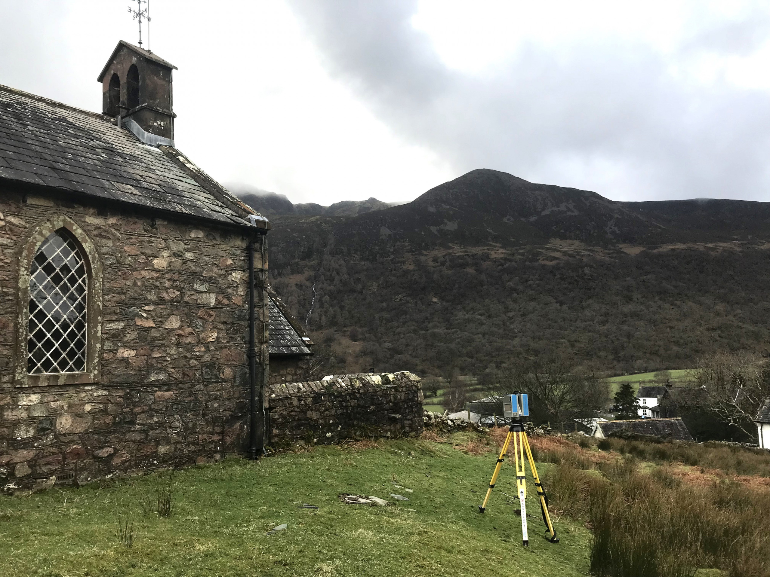
Church Survey, Buttermere
Another historic church, scanned and photographed for record purposes.
This is a low resolution model created in Capturing Reality
Church Survey, Lowick
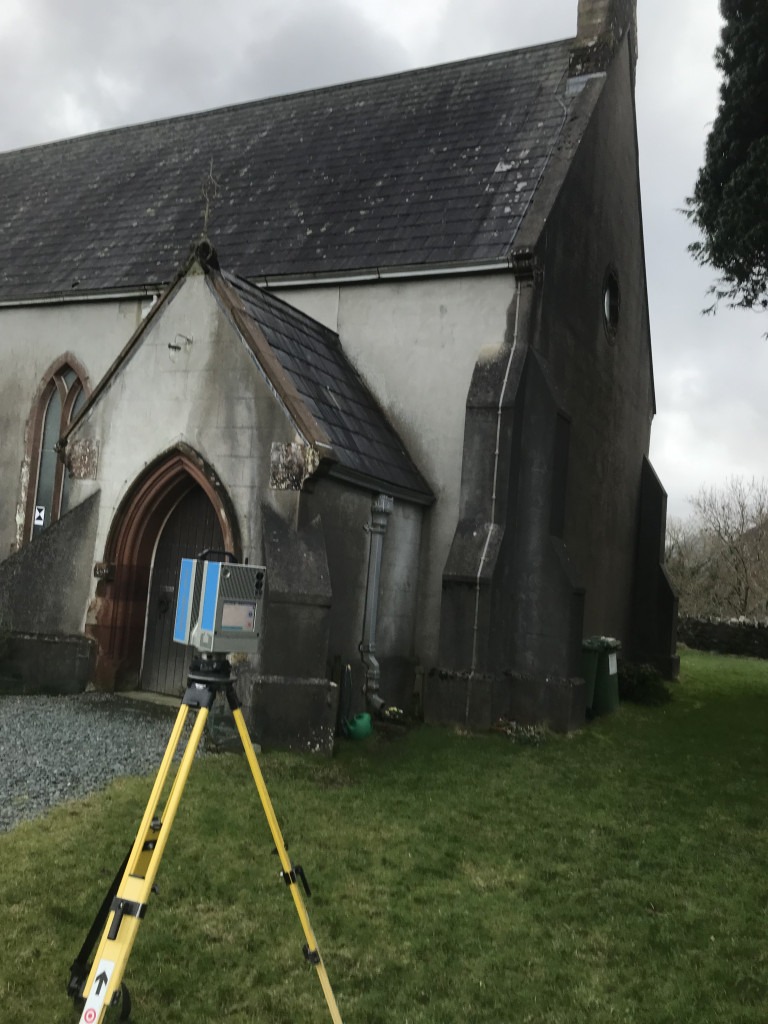
Combined with photography, this data captures a highly accurate record of this historic building at a point in time. The information can be used for planning maintenance and to check structural integrity over time.
Church Survey, Blackburn
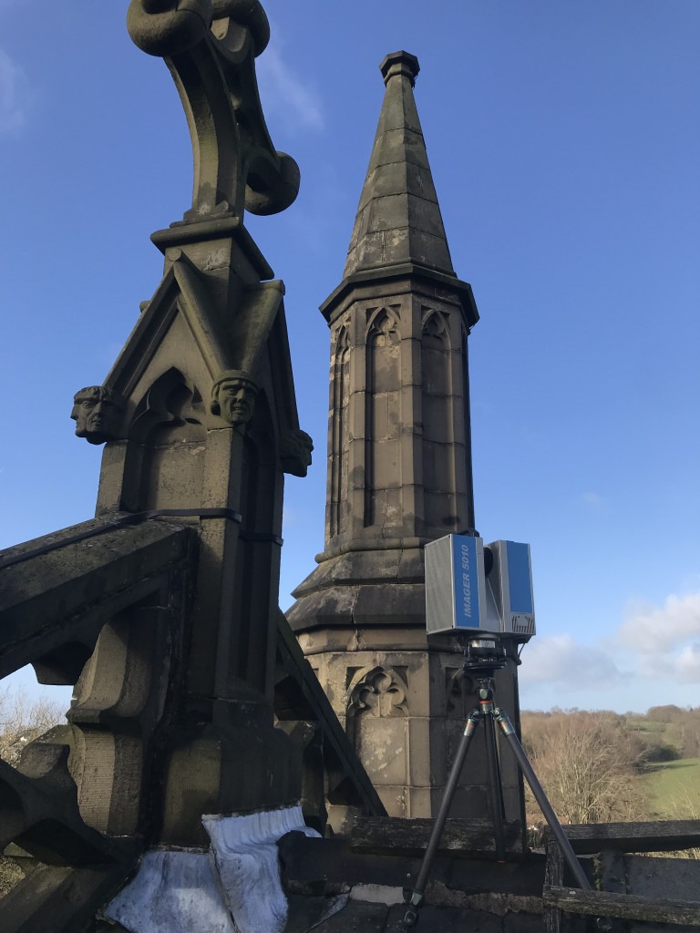
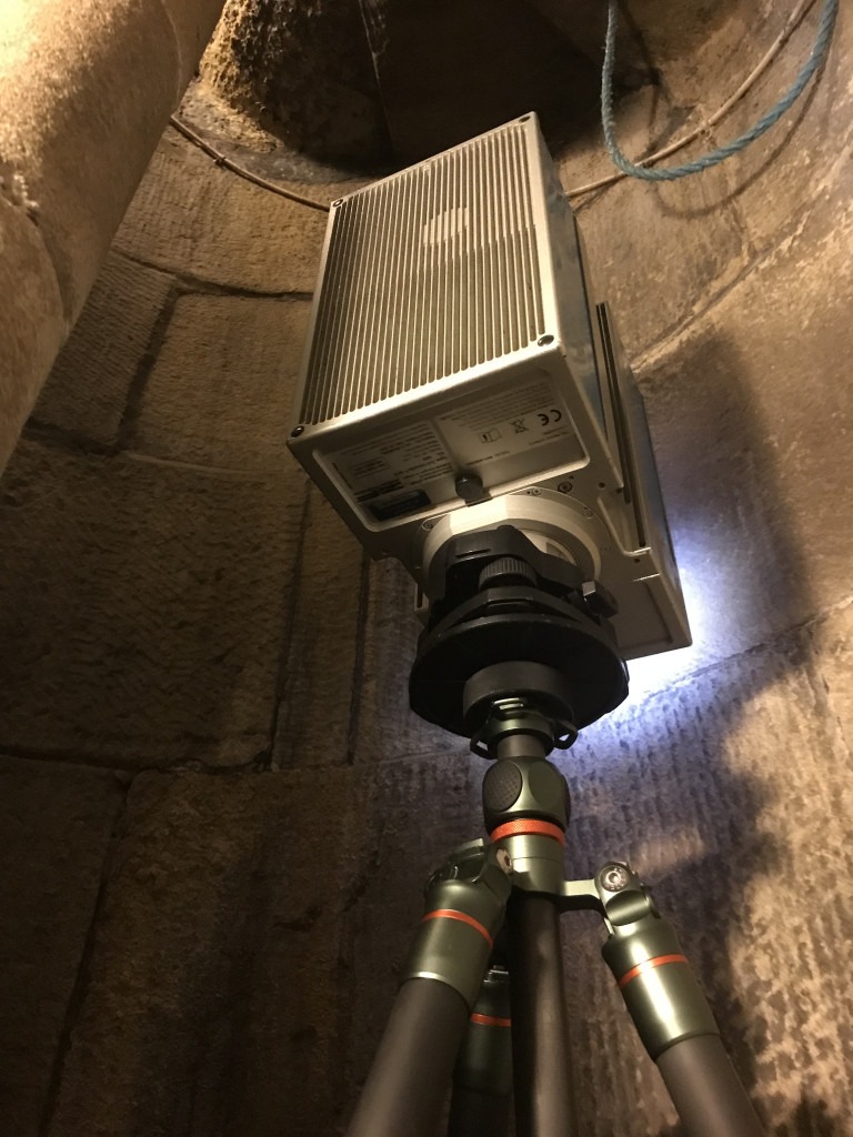
If I thought it was tight getting around and up the spiral, getting from the roof into the vault void was even tighter. Not to mention the wind.
Topographical Survey, Lowick, Ulverston
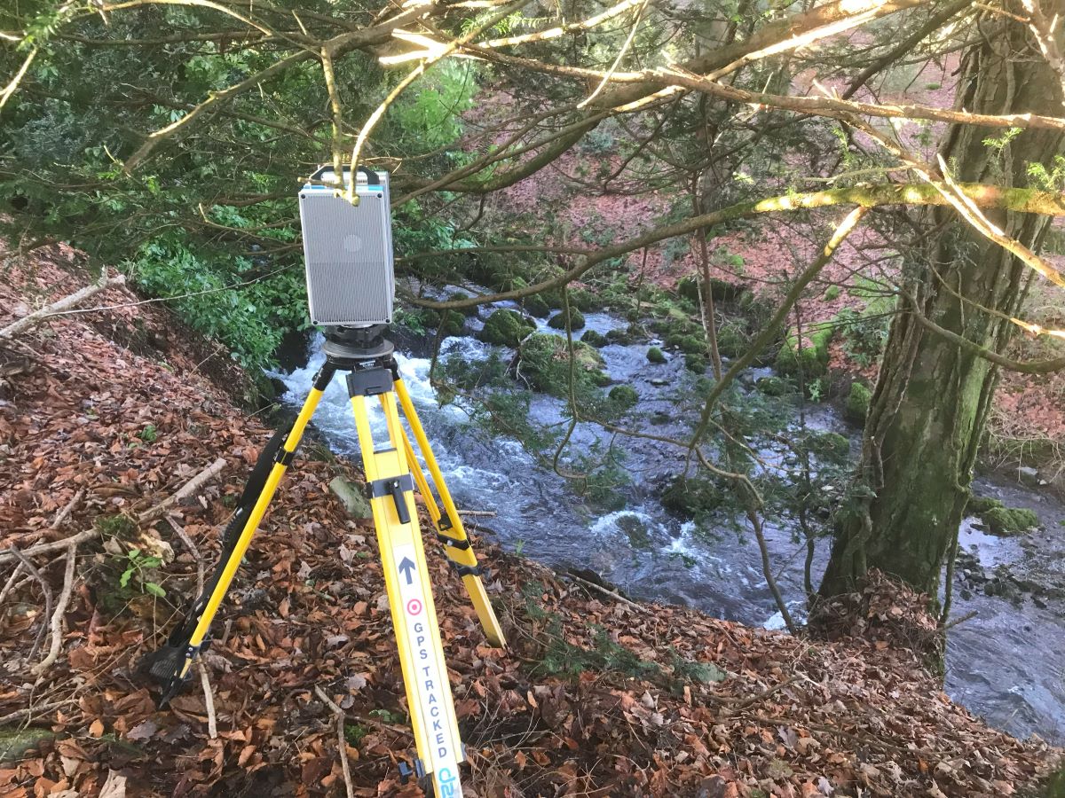
The 3D scanner can be useful to capture inaccessible areas like this embankment, avoiding the surveyor having to scramble around the banking and hanging from branches with the detail pole. Scan registration can be tricky in a scene like this, but luckily out of shot are some out buildings, providing hard fixed objects in the scene.
Land Survey, Carlisle

Golf course land survey for a lodge development. It looks fairly quiet today, so hopefully I won’t get hit by any missiles.
Measured Building Survey, Sedbergh
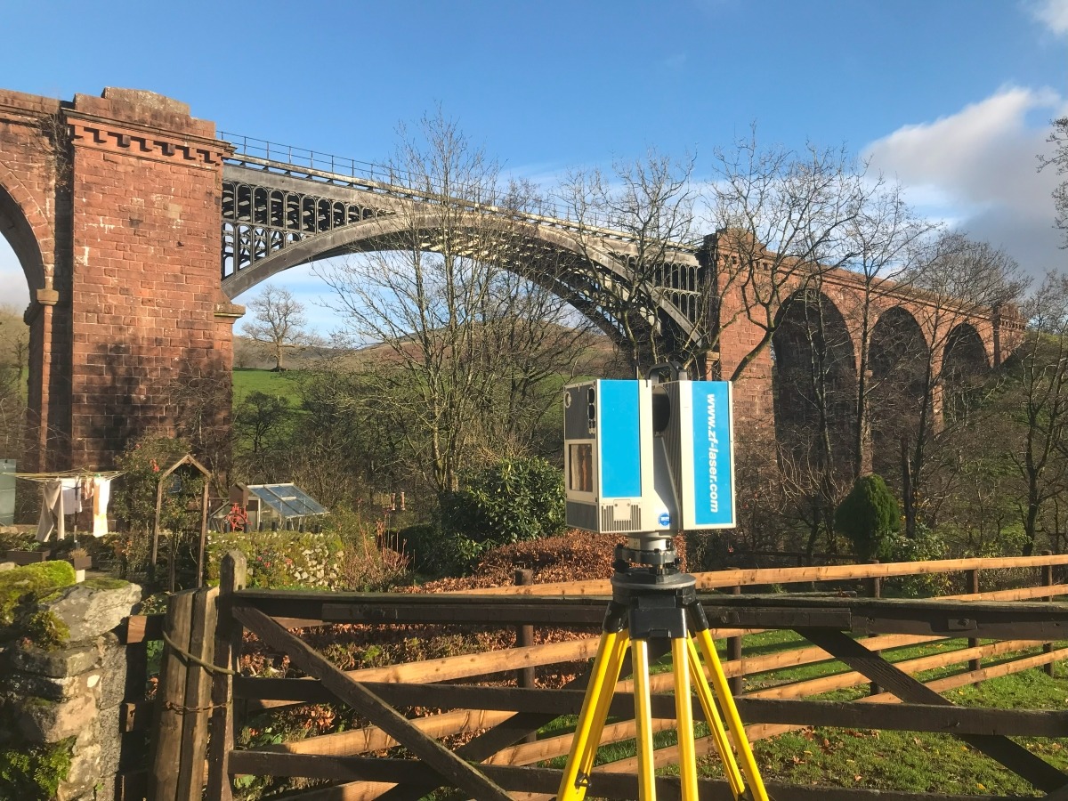
I am scanning the barns behind me, but what a view from the backyard. Waterside Viaduct on the Leeds to Morecambe line, that would be handy, but alas it was closed in 1966.
Land Surveyor, Glenridding, Penrith
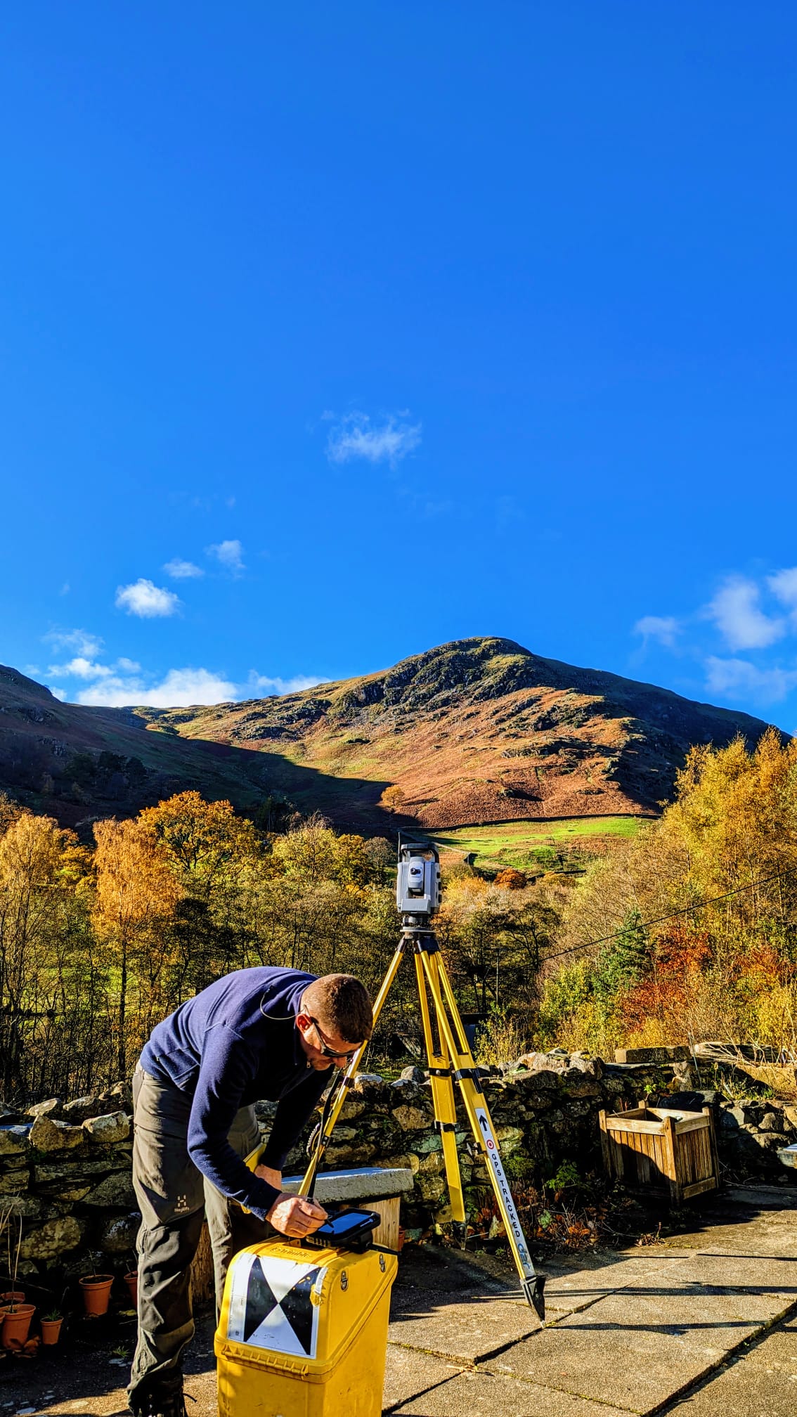
Snow up Helvellyn! I have dragged myself and skis up to the Lake District Ski Club before now. Today I am surveying in the low lands for a drainage diversion scheme.
Boundary Survey, Preston
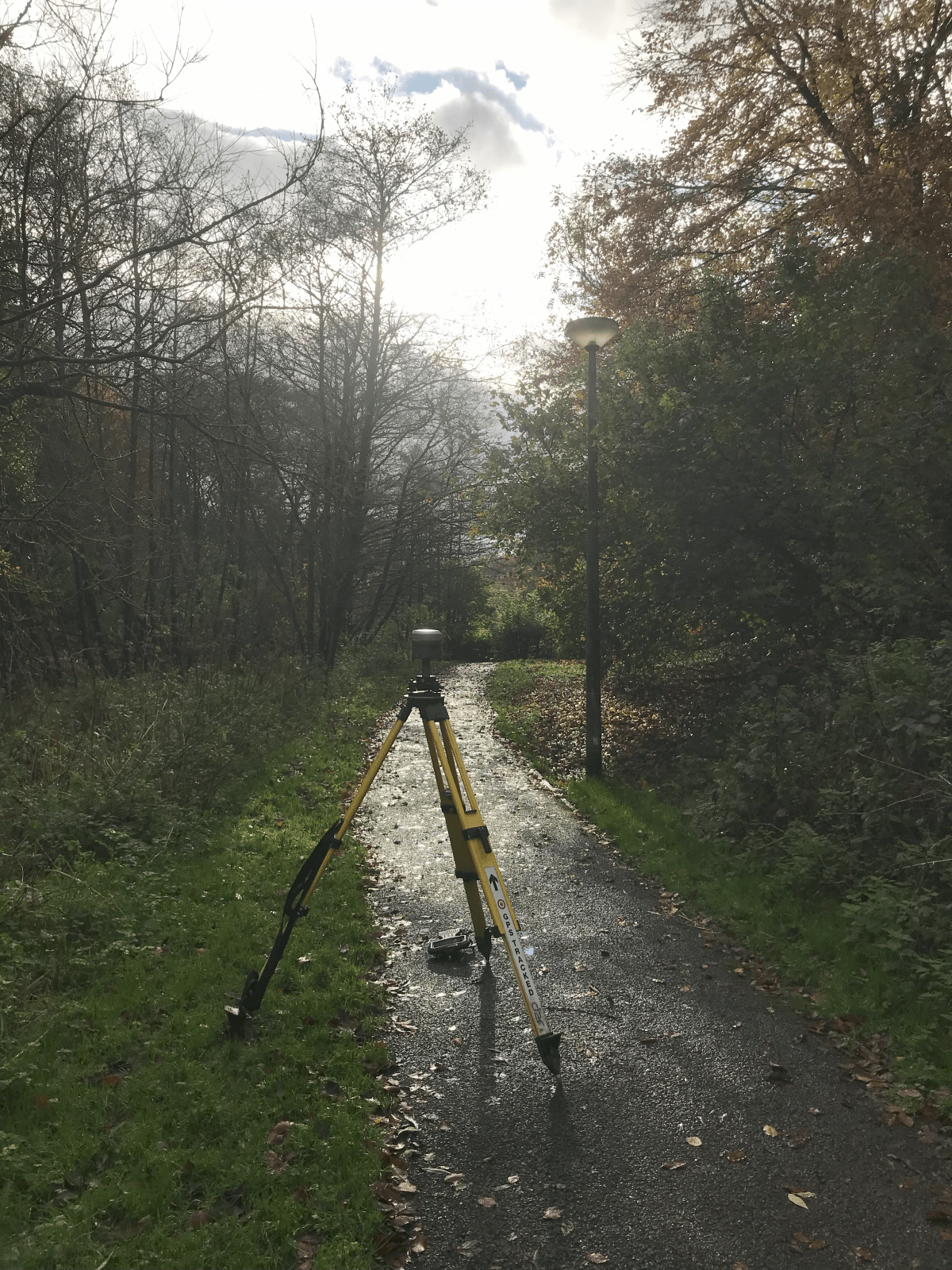
Ever the optimist, one has a go, but realistically there is no chance of achieving accurate satellite positioning in this scene. I did ultimately waste my time and ended up 500m from the site before I could get a fix. I was surveying the boundary of a property, so I could prepare a transfer plan for the Land Registry.
Topographical Survey, Lake Windermere
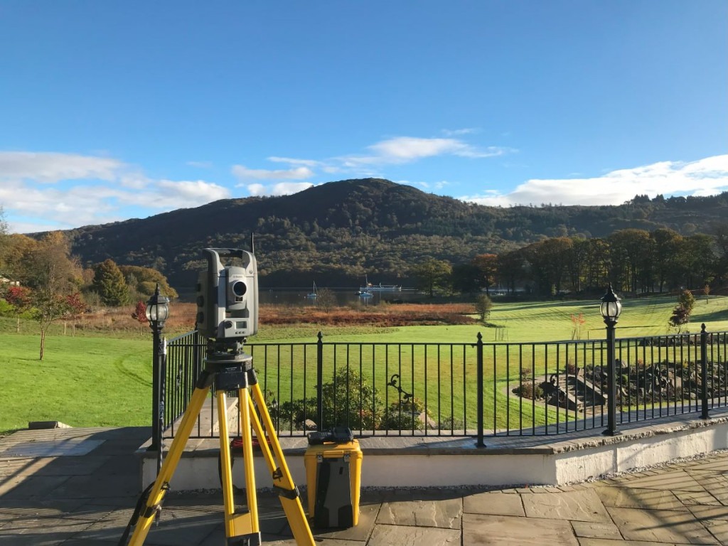
Through the telescope I can see people eating sandwiches on the top Gummer’s How which I have walked up many times. I am actually here to map an intricate paving layout, so it can be removed then replaced after fixing a leak.
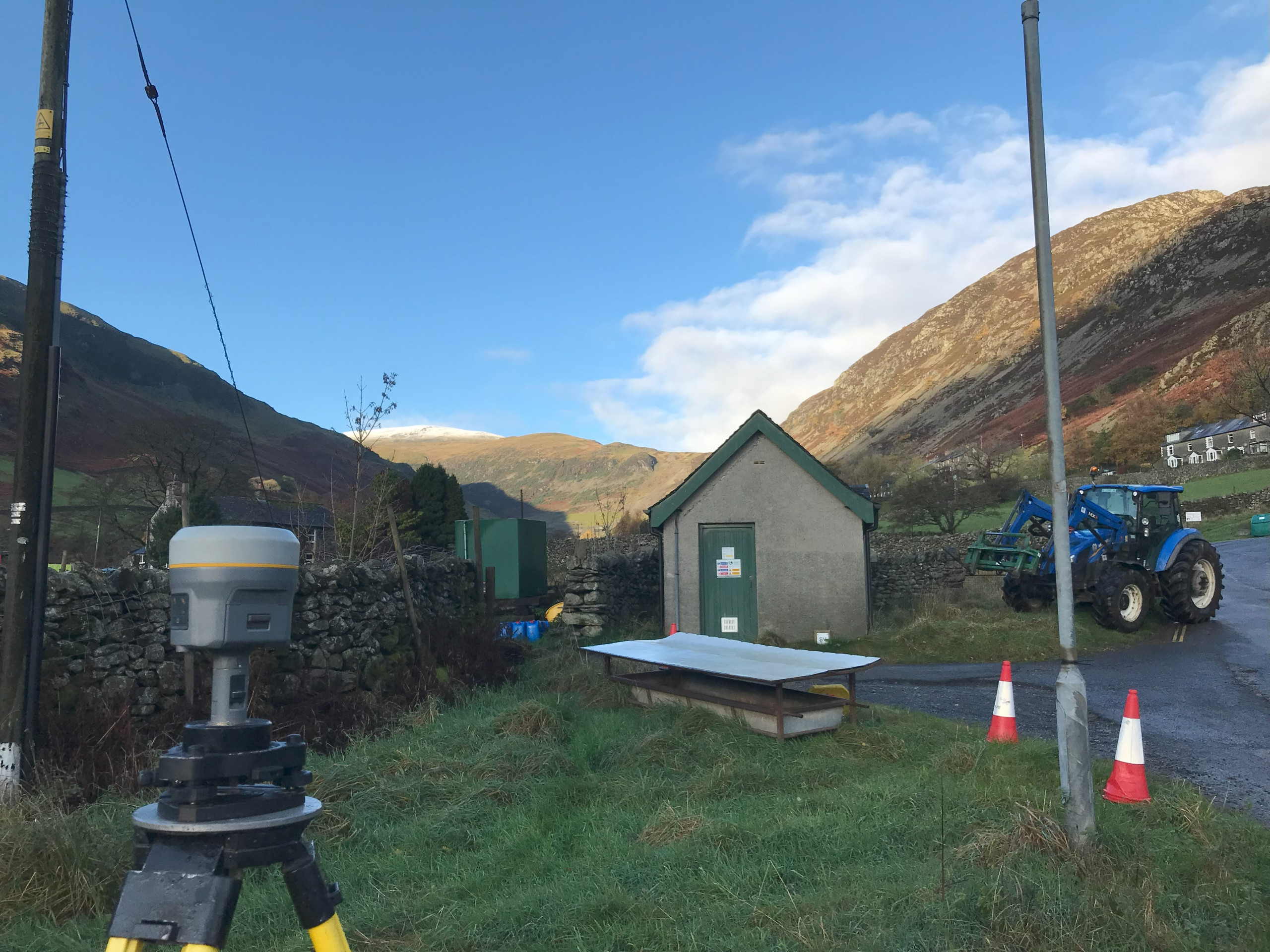
Land Surveying in Kendal
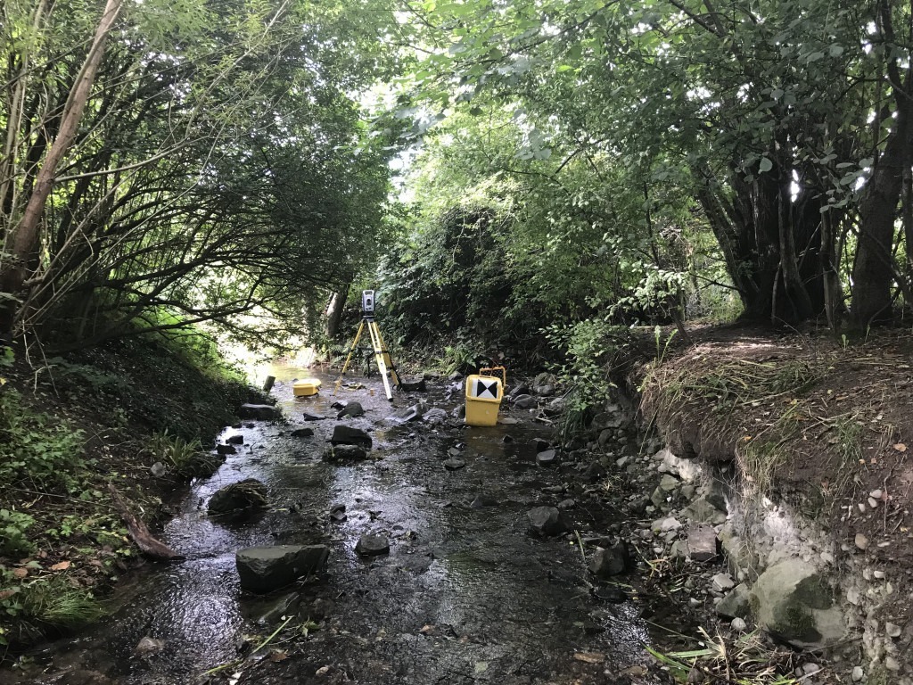
A lidar drone might measure the banks easier than this, but I would still need the survey pole to measure the bed levels. Often there is no substitute for The Total Station. This survey is recording bank erosion and the undermining of a footbridge.